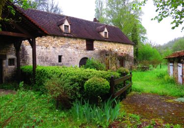
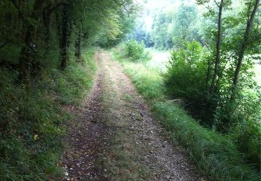
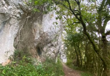
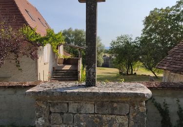
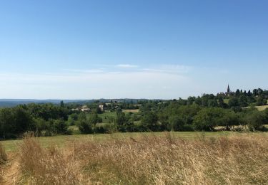
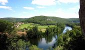
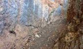
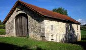
Trail Walking Cœur de Causse - La Via Arverna  (Labastide-Murat - Vers) - Photo

La Via Arverna (Labastide-Murat - Vers)

 tracegps
tracegps

User

© OpenStreetMap contributors
Length
Length
24 km
Max alt
Max alt
444 m
Uphill gradient
Uphill gradient
329 m
Km-Effort
Km-Effort  
29 km
Min alt
Min alt
128 m
Downhill gradient
Downhill gradient
640 m
Boucle
Boucle
No
Creation date :
2014-12-10 00:00:00.0
Updated on :
2014-12-10 00:00:00.0

(0 Reviews)

Walking
Walking
7h00
Difficulty : Difficult

Scan this QR Code to open this trail in the SityTrail application

FREE GPS app for hiking

Logo SityTrail SityTrail

IGN / Geographical institutes

Download SityTrail from the App Store Download SityTrail from Google Play

Logo SityTrail SityTrail World

The world is yours!

Download SityTrail from the App Store Download SityTrail from Google Play Download SityTrail on Huawei AppGallery

About

Trail Walking of 24 km to be discovered at Occitania, Lot, Cœur de Causse. This trail is proposed by tracegps.

Description

Etape 19 de la Via Arverna, chemin de Saint Jacques de Compostelle entre Clermont-Ferrand et Cahors. « Avant-dernière étape permettant d’entrer dans le parc régional naturel du Quercy. Passage essentiellement dans les plaines puis dans les sous-bois le long de la rivière Vers. Arrivée dans la commune du même nom que la rivière. Vous croiserez très peu d’habitations. Cette étape marque aussi la jonction au niveau du gite du Pasturat avec l’une des variantes de la GR 65 (via podiensis partant de Figeac et longeant la vallée du Célé via Saint-Cirq-Lapopie pour rejoindre Cahors). » Retrouvez l'étape n° 19 sur le site de la «Via Arverna - chemin Saint-Jacques-de-Compostelle» ainsi qu'ICI sur le site de la « Via Arverna ».

Elevation profile

Photos

Positioning

Country:
France
Region :
Occitania
Department/Province :
Lot
Municipality :
Cœur de Causse
Location:
Unknown
Start:(UTM)
386340 ; 4944642 (31T) N.

Trails nearby

Trail Walking Cœur de Causse - 2022-04-25_07h04m03_46 - St Sauveur la Vallée - 14 Km - Photo
Walking
houbart

Walking

Very difficult
Cœur de Causse, Occitania, Lot, France
14.4 km | 19.4 km-effort
4h 24min
Yes
Trail Walking Cœur de Causse - Labastide Murat vers Vers - Photo
Walking
choubaka77

Walking

Difficult
Cœur de Causse, Occitania, Lot, France
24 km | 32 km-effort
5h 51min
No
Trail sport Cœur de Causse - Sob la bastide murat vers - Photo
sport
Glurps

sport

Very easy
Cœur de Causse, Occitania, Lot, France
26 km | 33 km-effort
Unknown
No
Trail Walking Soulomès - soulomes les croix - Photo
Walking
foxtay

Walking

Easy
Soulomès, Occitania, Lot, France
4.7 km | 5.9 km-effort
1h 11min
Yes
Trail Walking Cœur de Causse - Labastide-Murat - Vers  - Photo
Walking
mathieubrulais

Walking

Medium
Cœur de Causse, Occitania, Lot, France
24 km | 30 km-effort
4h 47min
No
Trail Walking Lamothe-Cassel - circuit des trois églises - Photo
Walking
leorel

Walking

Medium
Lamothe-Cassel, Occitania, Lot, France
9.2 km | 12.4 km-effort
2h 15min
Yes
Trail Walking Cœur de Causse - vaillac - Photo
Walking
gcournac

Walking

Very difficult
Cœur de Causse, Occitania, Lot, France
22 km | 30 km-effort
5h 40min
Yes
Trail Mountain bike Cœur de Causse - SityTrail - LABASTIDE-MURAT - Photo
Mountain bike
Gpoujade

Mountain bike

Difficult
Cœur de Causse, Occitania, Lot, France
30 km | 37 km-effort
2h 35min
Yes
Trail Walking Cœur de Causse - 2018-04-05-46-Labastide-Murat - Photo
Walking
houbart

Walking

Difficult
Cœur de Causse, Occitania, Lot, France
11.7 km | 14.8 km-effort
3h 21min
Yes


Close
My subscriptions