


10.1 km | 14.9 km-effort


User


FREE GPS app for hiking
 SityTrail
IGN / Geographical institutes
SityTrail World
The world is yours!
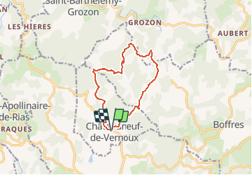
Trail Walking of 11.7 km to be discovered at Auvergne-Rhône-Alpes, Ardèche, Châteauneuf-de-Vernoux. This trail is proposed by tracegps.
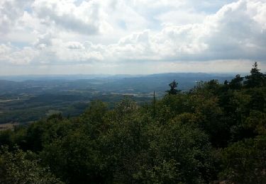
Au départ d'un petit village de caractère. Il serait regrettable de ne pas profiter du panorama sur le plateau de Vernoux qui s'offre à vous en montant à la tour.


Walking

Walking
Walking
Walking

Horseback riding
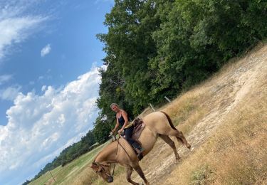
Horseback riding
Walking
Walking
Walking