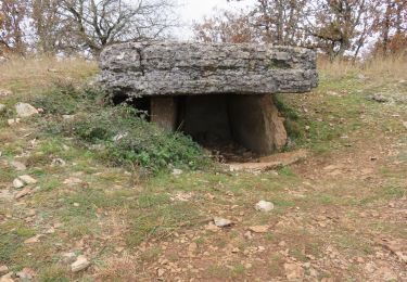
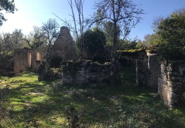
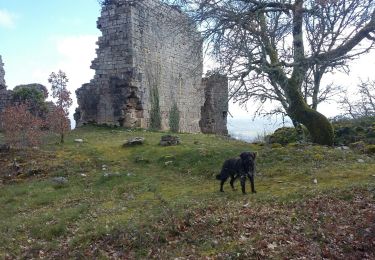
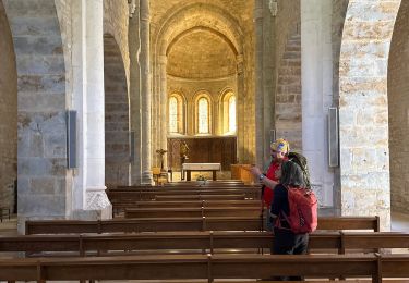
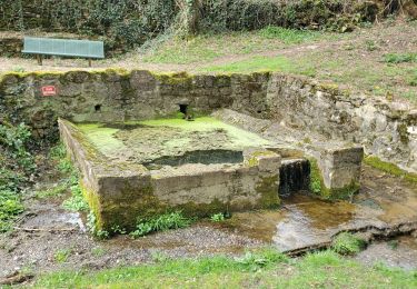
Trail Mountain bike Miers - Zevtt - Bretenoux - Photo

Zevtt - Bretenoux

 kipoura
kipoura

User

© OpenStreetMap contributors
Length
Length
54 km
Max alt
Max alt
418 m
Uphill gradient
Uphill gradient
1409 m
Km-Effort
Km-Effort  
72 km
Min alt
Min alt
122 m
Downhill gradient
Downhill gradient
1414 m
Boucle
Boucle
Yes
Creation date :
2019-05-03 17:10:18.936
Updated on :
2019-05-03 17:10:18.978

(0 Reviews)

Mountain bike
Mountain bike
4h37
Difficulty : Difficult

Scan this QR Code to open this trail in the SityTrail application

FREE GPS app for hiking

Logo SityTrail SityTrail

IGN / Geographical institutes

Download SityTrail from the App Store Download SityTrail from Google Play

Logo SityTrail SityTrail World

The world is yours!

Download SityTrail from the App Store Download SityTrail from Google Play Download SityTrail on Huawei AppGallery

About

Trail Mountain bike of 54 km to be discovered at Occitania, Lot, Miers. This trail is proposed by kipoura.

Description

Un beau circuit de VTT passant par le gouffre de Padirac .... http://zevtt.free.fr

Elevation profile

Positioning

Country:
France
Region :
Occitania
Department/Province :
Lot
Municipality :
Miers
Location:
Unknown
Start:(UTM)
397872 ; 4967519 (31T) N.

Trails nearby

Trail Walking Alvignac - Le grand tour d'Alvignac Les Eaux - Photo
Walking
tracegps

Walking

Difficult
(1)
Alvignac, Occitania, Lot, France
15.2 km | 19.3 km-effort
3h 49min
Yes
Trail Walking Montvalent - Montvalent - Photo
Walking
Gpoujade

Walking

Medium
(1)
Montvalent, Occitania, Lot, France
13.7 km | 17.9 km-effort
3h 49min
Yes
Trail Walking Miers - 2021-11-20_20h14m14_0ePw2rSfp3MfACzh8d3-Xw - Photo
Walking
houbart

Walking

Medium
(1)
Miers, Occitania, Lot, France
9.6 km | 11.9 km-effort
2h 42min
Yes
Trail Walking Loubressac - Laguizayrie - Photo
Walking
Gaillard Isabelle

Walking

Easy
Loubressac, Occitania, Lot, France
15.9 km | 20 km-effort
3h 59min
Yes
Trail Walking Carennac - ruiné de taillefer - Photo
Walking
bellouelo46

Walking

Easy
Carennac, Occitania, Lot, France
10.9 km | 15.2 km-effort
2h 39min
Yes
Trail Mountain bike Alvignac - Le grand tour d'Alvignac Les Eaux - Photo
Mountain bike
tracegps

Mountain bike

Medium
Alvignac, Occitania, Lot, France
15.2 km | 19.3 km-effort
2h 0min
Yes
Trail sport Padirac - Dordogne - Photo
sport
jlmauriz

sport

Very easy
Padirac, Occitania, Lot, France
15.7 km | 22 km-effort
Unknown
No
Trail Walking Alvignac - Les sources salmiere - Photo
Walking
viam19

Walking

Medium
Alvignac, Occitania, Lot, France
10 km | 12.6 km-effort
3h 59min
Yes
Trail Walking Thégra - Thégra - Circuit des fontaines - Photo
Walking
houbart

Walking

Difficult
(1)
Thégra, Occitania, Lot, France
11.5 km | 14.4 km-effort
3h 10min
Yes


Close
My subscriptions