


17.8 km | 23 km-effort


User GUIDE


FREE GPS app for hiking
 SityTrail
IGN / Geographical institutes
SityTrail World
The world is yours!
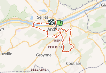
Trail Walking of 14.1 km to be discovered at Wallonia, Namur, Andenne. This trail is proposed by Desrumaux.
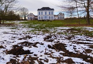
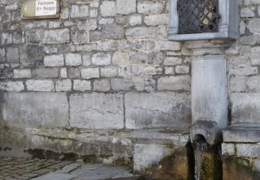
Andenne est la commune la plus septentrionale du Condroz namurois, située dans la vallée verte de la Meuse. La ville s’est développée autour d’un monastère fondé vers 692 par sainte Begge, sœur de sainte Gertrude de Nivelles et fille de Pépin de Landen. Entre les plateaux de Hesbaye et du Condroz, les vallées de la Meuse et du Samson et des paysages vallonnés et boisés, la région andennaise offre une multitude de promenades.Départ : place des Tilleuls


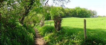
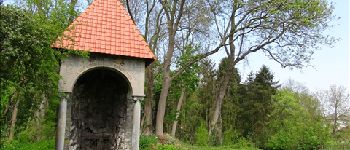
Walking

Walking

Walking

Mountain bike

Mountain bike

Mountain bike
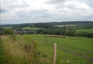
Walking
Walking
Walking