


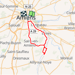


12.2 km | 13.8 km-effort


User


FREE GPS app for hiking
 SityTrail
IGN / Geographical institutes
SityTrail World
The world is yours!
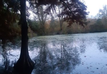
Trail Cycle of 35 km to be discovered at Hauts-de-France, Somme, Amiens. This trail is proposed by lefrancm.
petite sortie à vélo sympa à partir d'amiens
Walking

Mountain bike

Walking
Walking
On foot
Walking

Walking
Walking