


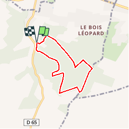

9.9 km | 12.6 km-effort


User


FREE GPS app for hiking
 SityTrail
IGN / Geographical institutes
SityTrail World
The world is yours!
Trail Walking of 5.4 km to be discovered at Normandy, Eure, Saint-Aubin-sur-Gaillon. This trail is proposed by douneto.
Rando Mai 2013
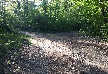
Forêt bien entretenue et agréable.
Balisage Bleu
Accès Parking des Marnières sortie Jeufosse au pied de la côte des Rotoirs

Walking

Walking
Walking

Walking
Other activity
Walking

Walking

Walking
Walking