


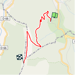

25 km | 36 km-effort


User


FREE GPS app for hiking
 SityTrail
IGN / Geographical institutes
SityTrail World
The world is yours!
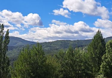
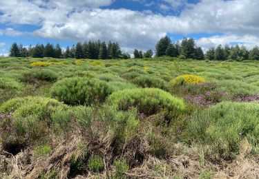
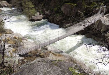
Trail Walking of 2.8 km to be discovered at Occitania, Lozère, Villefort. This trail is proposed by biollay.
Petite balade GR 72
Walking
Walking
Walking
Walking
Walking
Walking

Walking

Walking
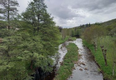
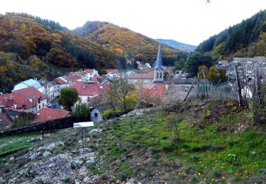
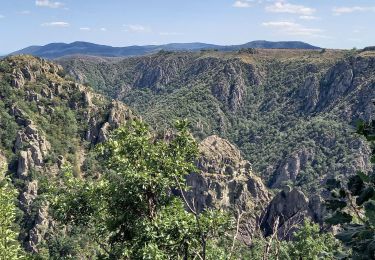
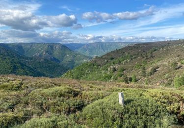
Rando sur piste pas extra. Vue passable.