Rando Montaut les Creneaux 2013.gpx SityTrail > Trails > Outdoor > France > Occitania > Gers > Montaut-les-Créneaux SityTrail > Trails > Outdoor > France > Occitania > Gers > Montaut-les-Créneaux Rando Montaut les Creneaux 2013.gpx ludcobike User 3D © OpenStreetMap contributors Length 38 km Max alt 254 m Uphill gradient 780 m Km-Effort 48 km Min alt 135 m Downhill gradient 778 m Boucle Yes Creation date : 2014-12-10 00:00:00.0 Updated on : 2014-12-10 00:00:00.0 (0 Reviews) Mountain bike 3h33 Difficulty : Medium FREE GPS app for hiking SityTrail IGN / Geographical institutes SityTrail World The world is yours! About 
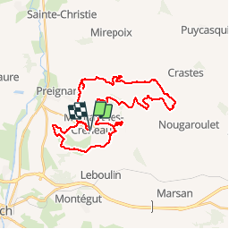
Trail Mountain bike of 38 km to be discovered at Occitania, Gers, Montaut-les-Créneaux. This trail is proposed by ludcobike. Legends | More details (PDF) Elevation profile Legends > 15% 15% - 10% 10% - 5% flat 5% - 10% 10% - 15% 15% - 30% > 30% Positioning Country: France Region : Occitania Department/Province : Gers Municipality : Montaut-les-Créneaux Location: Unknown Start:(Dec) 43.691433 / 0.656821 Start:(UTM) 311164 ; 4840270 (31T) N. Comments Please log in to post a review or rate the element Trails nearby papounet32 10km du 32 Walking Auch, Occitania, Gers, France 12.6 km | 15.6 km-effort 3h 15min No Camsity Étape 2 Walking Very easy Montégut, Occitania, Gers, France 27 km | 33 km-effort 22h 0min No simon81 2011-12-28 09h17m48 Mountain bike Medium Auch, Occitania, Gers, France 9.6 km | 11.4 km-effort 48min No papounet32 Rando santé Montaut les créneaux Walking Easy Montaut-les-Créneaux, Occitania, Gers, France 1.3 km | 1.5 km-effort 27min No