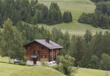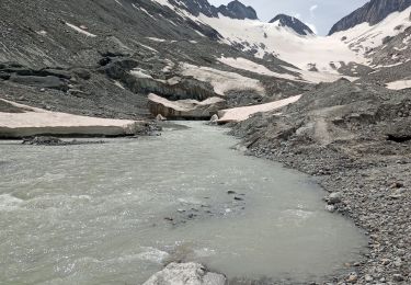
![Trail Other activity Guttannen - Sidelhorn [loop/boucle/Rundwand.] - Photo](https://media.geolcdn.com/t/1900/400/ext.pjpeg?maxdim=2&url=https%3A%2F%2Fstatic1.geolcdn.com%2Fsiteimages%2Fupload%2Ffiles%2F1545311037marcheuse_200dpi.jpg)
Sidelhorn [loop/boucle/Rundwand.]

pnoth
User

Length
7 km

Max alt
2743 m

Uphill gradient
594 m

Km-Effort
14.9 km

Min alt
2155 m

Downhill gradient
589 m
Boucle
Yes
Creation date :
2014-12-11 00:00:00.0
Updated on :
2014-12-11 00:00:00.0
--
Difficulty : Unknown

FREE GPS app for hiking
About
Trail Other activity of 7 km to be discovered at Bern, Interlaken-Oberhasli administrative district, Guttannen. This trail is proposed by pnoth.
Description
English: http://www.noth.ch/h0208_e.html
Français: http://www.noth.ch/h0208_f.html
Deutsch: http://www.noth.ch/h0208_d.html
Positioning
Country:
Switzerland
Region :
Bern
Department/Province :
Interlaken-Oberhasli administrative district
Municipality :
Guttannen
Location:
Unknown
Start:(Dec)
Start:(UTM)
449129 ; 5156626 (32T) N.
Comments
Trails nearby

Rottenweg


On foot
Medium
Obergoms,
Valais/Wallis,
Goms,
Switzerland

25 km | 30 km-effort
6h 44min
No

Zahnstangensafari


On foot
Easy
Obergoms,
Valais/Wallis,
Goms,
Switzerland

3.8 km | 8 km-effort
1h 49min
No

glacier d'Oberaarhon


Walking
Easy
Guttannen,
Bern,
Interlaken-Oberhasli administrative district,
Switzerland

9.1 km | 13.1 km-effort
5h 58min
Yes

ViaRegio_Grimsel_5


Other activity
Very easy
Obergoms,
Valais/Wallis,
Goms,
Switzerland

9.7 km | 13.5 km-effort
2h 58min
No


YHH112 Stans à Ponte (6e jour)


Walking
Very difficult
Guttannen,
Bern,
Interlaken-Oberhasli administrative district,
Switzerland

15.1 km | 25 km-effort
5h 0min
No

vallée de Conches 2


Winter sports
Medium
Obergoms,
Valais/Wallis,
Goms,
Switzerland

16.4 km | 17.7 km-effort
1h 38min
No

vallée de Conches


Winter sports
Medium
Obergoms,
Valais/Wallis,
Goms,
Switzerland

17.4 km | 18.9 km-effort
1h 44min
No

Goms


Other activity
Very easy
Obergoms,
Valais/Wallis,
Goms,
Switzerland

13.1 km | 17.7 km-effort
Unknown
No


 SityTrail


