


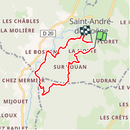

12.1 km | 25 km-effort


User


FREE GPS app for hiking
 SityTrail
IGN / Geographical institutes
SityTrail World
The world is yours!
Trail Equestrian of 6.6 km to be discovered at Auvergne-Rhône-Alpes, Upper Savoy, Saint-André-de-Boëge. This trail is proposed by badello.
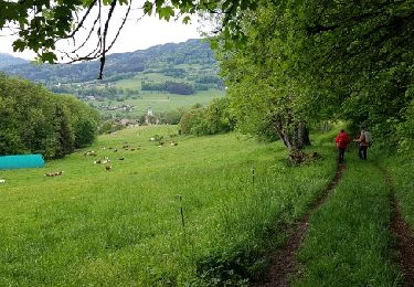
Montée progressive dans les bois depuis Saint-André avant une grande descente (raide par endroits et empruntée aussi par les VTT), passage par la meulière à Vachat et retour en montée non loin de la Menoge. Courte balade, avec de bons dénivelés.
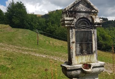
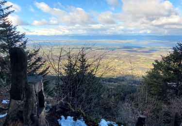
 - Photo 1")
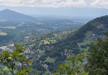
 - Photo 2")
Walking
Walking

Walking
Walking
Walking

On foot

Walking

Touring skiing

Mountain bike