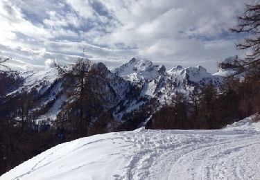
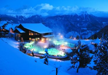
Trail Other activity Leytron - Le Valais par l''Adret - Etape 2a/6 - Photo

Le Valais par l''Adret - Etape 2a/6

 Romrando
Romrando

User

© OpenStreetMap contributors
Length
Length
1.2 km
Max alt
Max alt
3004 m
Uphill gradient
Uphill gradient
408 m
Km-Effort
Km-Effort  
5.3 km
Min alt
Min alt
2576 m
Downhill gradient
Downhill gradient
3 m
Boucle
Boucle
No
Creation date :
2014-12-11 00:00:00.0
Updated on :
2014-12-11 00:00:00.0

(0 Reviews)

Other activity
Other activity
--
Difficulty : Unknown

Scan this QR Code to open this trail in the SityTrail application

FREE GPS app for hiking

Logo SityTrail SityTrail

IGN / Geographical institutes

Download SityTrail from the App Store Download SityTrail from Google Play

Logo SityTrail SityTrail World

The world is yours!

Download SityTrail from the App Store Download SityTrail from Google Play Download SityTrail on Huawei AppGallery

About

Trail Other activity of 1.2 km to be discovered at Valais/Wallis, Martigny, Leytron. This trail is proposed by Romrando.

Description

Source:geocities.com/romrando

2ème étape - Partie 1

Ascension du Grand Muveran (Alt. 3''051 m)

De la cabane, suivre un sentier qui se dirige au N - N-E vers la crête Moret. On franchit un banc de rocher facile, puis il faut remonter par une sente dans des éboulis à droite de l’éperon (un peu pénible). On arrive ainsi à la base de dalles où commence le balisage (orange).

Gravir ces dalles qui se transforment vite en une sorte de cheminée large, qui mène à l’éperon lui-même (passages de II, environ 30 m de haut). On traverse cet éperon en direction W - NW pour rejoindre des vires d’éboulis ascendantes, plus ou moins larges. Un bloc un peu proéminent est sécurisé par un câble (ce sera le seul !) . Ces vires amènent en traversant tout le versant Sud jusque sous le sommet (attention de ne pas perdre le balisage).

On arrive alors dans un couloir peu marqué, que l’on remonte à droite (N - N-E) pour déboucher juste sous l’arête Est et rejoindre facilement le sommet à gauche.

Elevation profile

Positioning

Country:
Switzerland
Region :
Valais/Wallis
Department/Province :
Martigny
Municipality :
Leytron
Location:
Unknown
Start:(UTM)
356135 ; 5121318 (32T) N.

Trails nearby

Trail Nordic walking Leytron - Ovronaz - Loutze - Ovronaz - Photo
Nordic walking
siejcsal

Nordic walking

Easy
Leytron, Valais/Wallis, Martigny, Switzerland
7.6 km | 13.1 km-effort
3h 41min
Yes
Trail Walking Leytron - Cabane Rambert - Photo
Walking
siejcsal

Walking

Difficult
Leytron, Valais/Wallis, Martigny, Switzerland
14 km | 26 km-effort
5h 3min
No
Trail Walking Leytron - 0vronnaz  cabane FENESTRAL - Photo
Walking
michauxpaul

Walking

Very difficult
Leytron, Valais/Wallis, Martigny, Switzerland
12.3 km | 22 km-effort
5h 0min
No
Trail Walking Chamoson - Ovronnaz - Photo
Walking
Repi Newlife

Walking

Very easy
Chamoson, Valais/Wallis, Conthey, Switzerland
32 km | 41 km-effort
78h 38min
No
Trail Walking Leytron - Tour d'Ovronaz - Route des bains - Photo
Walking
newcom4u

Walking

Easy
Leytron, Valais/Wallis, Martigny, Switzerland
2.1 km | 3.1 km-effort
40min
Yes
Trail Mountain bike Leytron - Bike32926 - Photo
Mountain bike
GUIDE+

Mountain bike

Very easy
Leytron, Valais/Wallis, Martigny, Switzerland
22 km | 36 km-effort
Unknown
Yes
Trail Walking Bex - Bex (Genferseegebiet) - Photo
Walking
GUIDE+

Walking

Very easy
Bex, Vaud, District d'Aigle, Switzerland
10.5 km | 18.6 km-effort
5h 55min
Yes
Trail Snowshoes Leytron - Ovronnaz - J1 - Tour du Grand Chateau - Photo
Snowshoes
michel.heusschen@skynet.be

Snowshoes

Easy
Leytron, Valais/Wallis, Martigny, Switzerland
7.1 km | 18.9 km-effort
5h 0min
No
Trail Snowshoes Saillon - Ovronaz - J2 - Dent de Morcles (2968m) - Photo
Snowshoes
michel.heusschen@skynet.be

Snowshoes

Medium
Saillon, Valais/Wallis, Martigny, Switzerland
14.3 km | 30 km-effort
6h 0min
No


Close
My subscriptions