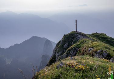
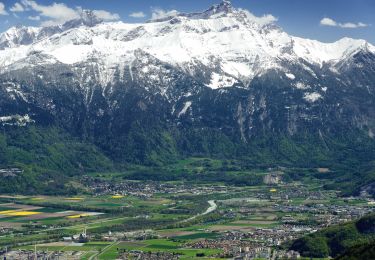
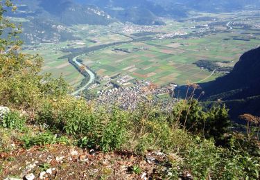
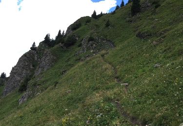
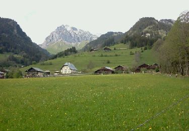
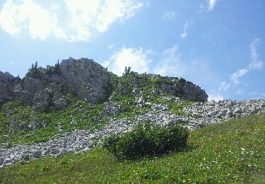
Trail Other activity Vouvry - Cornettes de Bise (2''432 m) - par la Suisse - Photo

Cornettes de Bise (2''432 m) - par la Suisse

 Romrando
Romrando

User

© OpenStreetMap contributors
Length
Length
15.2 km
Max alt
Max alt
2348 m
Uphill gradient
Uphill gradient
1379 m
Km-Effort
Km-Effort  
34 km
Min alt
Min alt
1047 m
Downhill gradient
Downhill gradient
1370 m
Boucle
Boucle
Yes
Creation date :
2014-12-11 00:00:00.0
Updated on :
2014-12-11 00:00:00.0

(0 Reviews)

Other activity
Other activity
--
Difficulty : Unknown

Scan this QR Code to open this trail in the SityTrail application

FREE GPS app for hiking

Logo SityTrail SityTrail

IGN / Geographical institutes

Download SityTrail from the App Store Download SityTrail from Google Play

Logo SityTrail SityTrail World

The world is yours!

Download SityTrail from the App Store Download SityTrail from Google Play Download SityTrail on Huawei AppGallery

About

Trail Other activity of 15.2 km to be discovered at Valais/Wallis, Monthey, Vouvry. This trail is proposed by Romrando.

Description

Itinéraire sans difficultés mais varié et contrasté.

En voiture par Vouvry gagner "Le Flon" au pied du lac Tanay et parquer la voiture au début de la route réservée au 4X4.

Suivre une petite route goudronnée vers l''W puis remonter toute la vallée le long d''une route à 4x4 jusqu''à l''alpage du "Coeur". De là gagner directement le col de Verne.

Remonter la bute vers le N pour gagner deux petits chalets (La Calaz) puis traverser à flanc vers la gauche pour remonter ensuite vers un petit col.

De là gagner le sommet en suivant le versant sud. (Attention toutefois par brouillard - nombreuses traces et falaises abruptes versant nord)

Redescendre au petit col puis prendre à gauche, direction WNW (attention aux fausses traces qui plongent directement et dangereusement dans la pente !) et suivre horizontalement une petite sente qui traverse des pentes très raide (dangereux en cas de névé tardif) pour rejoindre une grande combe.

De là un sentier balisé vers le NNE vous amène par quelques ressauts vers l''alpage de l''Au puis par une route caillouteuse rejoindre vers l''E le lac Tanay.

On rejoint alors le point de départ par la route.

Logement possible au lac Tanay http://www.isatis.ch/lactaney.html

Elevation profile

Positioning

Country:
Switzerland
Region :
Valais/Wallis
Department/Province :
Monthey
Municipality :
Vouvry
Location:
Unknown
Start:(UTM)
334674 ; 5133835 (32T) N.

Trails nearby

Trail Walking La Chapelle-d'Abondance - Le Linleu 2093 m, depuis Sevan-devant - Photo
Walking
tracegps

Walking

Medium
(1)
La Chapelle-d'Abondance, Auvergne-Rhône-Alpes, Upper Savoy, France
5.1 km | 11.9 km-effort
3h 0min
Yes
Trail On foot Vouvry - Miex-Lac Tanay (via Prélagine) - Photo
On foot
GUIDE+

On foot

Easy
Vouvry, Valais/Wallis, Monthey, Switzerland
6.3 km | 9.9 km-effort
2h 15min
No
Trail On foot Vionnaz - Torgon village - Chalet de Blancsex - Photo
On foot
GUIDE+

On foot

Easy
Vionnaz, Valais/Wallis, Monthey, Switzerland
4.4 km | 8.7 km-effort
1h 58min
No
Trail On foot Vionnaz - Torgon village - Dravers - Photo
On foot
GUIDE+

On foot

Easy
Vionnaz, Valais/Wallis, Monthey, Switzerland
4 km | 8.3 km-effort
1h 53min
No
Trail Walking Vouvry - Lac Tanay - Photo
Walking
danihz

Walking

Medium
Vouvry, Valais/Wallis, Monthey, Switzerland
12.4 km | 22 km-effort
4h 45min
Yes
Trail Other activity La Chapelle-d'Abondance - chapelle d abondance Trebentaz chapelle d abondance - Photo
Other activity
patricee2p

Other activity

Difficult
La Chapelle-d'Abondance, Auvergne-Rhône-Alpes, Upper Savoy, France
13.9 km | 28 km-effort
4h 51min
Yes
Trail Walking La Chapelle-d'Abondance - Plainr de  Joux - Photo
Walking
helmut68

Walking

Medium
La Chapelle-d'Abondance, Auvergne-Rhône-Alpes, Upper Savoy, France
19.4 km | 29 km-effort
5h 24min
Yes
Trail Other activity La Chapelle-d'Abondance - savalenaz - Photo
Other activity
jntoreau

Other activity

Very easy
La Chapelle-d'Abondance, Auvergne-Rhône-Alpes, Upper Savoy, France
3.2 km | 6.6 km-effort
1h 13min
No
Trail Mountain bike Port-Valais - st gingolf - Photo
Mountain bike
tintin73

Mountain bike

Difficult
Port-Valais, Valais/Wallis, Monthey, Switzerland
29 km | 45 km-effort
3h 24min
No


Close
My subscriptions