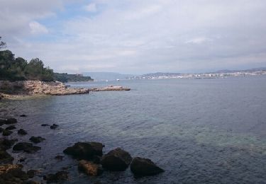
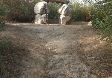
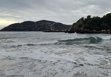
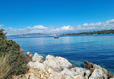
Trail Cycle Cannes - Cassien - Photo
 baiping
baiping

User

© OpenStreetMap contributors
Length
Length
63 km
Max alt
Max alt
383 m
Uphill gradient
Uphill gradient
1158 m
Km-Effort
Km-Effort  
78 km
Min alt
Min alt
-1 m
Downhill gradient
Downhill gradient
1153 m
Boucle
Boucle
Yes
Creation date :
2014-12-10 00:00:00.0
Updated on :
2014-12-10 00:00:00.0

(0 Reviews)

Cycle
Cycle
4h28
Difficulty : Easy

Scan this QR Code to open this trail in the SityTrail application

FREE GPS app for hiking

Logo SityTrail SityTrail

IGN / Geographical institutes

Download SityTrail from the App Store Download SityTrail from Google Play

Logo SityTrail SityTrail World

The world is yours!

Download SityTrail from the App Store Download SityTrail from Google Play Download SityTrail on Huawei AppGallery

About

Trail Cycle of 63 km to be discovered at Provence-Alpes-Côte d'Azur, Maritime Alps, Cannes. This trail is proposed by baiping.

Description

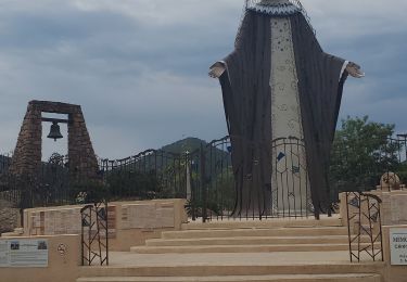
chapelle st cassien des bois

Elevation profile

Positioning

Country:
France
Region :
Provence-Alpes-Côte d'Azur
Department/Province :
Maritime Alps
Municipality :
Cannes
Location:
Unknown
Start:(UTM)
338284 ; 4824074 (32T) N.

Trails nearby

Trail Walking Cannes - Île Sainte Marguerite - Photo
Walking
JacooDuvi

Walking

Very easy
(2)
Cannes, Provence-Alpes-Côte d'Azur, Maritime Alps, France
9 km | 10.5 km-effort
2h 7min
Yes
Trail Cycle Cannes - st michel to funicular - Photo
Cycle
norman0000

Cycle

Very easy
(1)
Cannes, Provence-Alpes-Côte d'Azur, Maritime Alps, France
5.3 km | 7.3 km-effort
33min
Yes
Trail Walking Cannes - z St honorat 07-05-24 - Photo
Walking
cb8310

Walking

Easy
Cannes, Provence-Alpes-Côte d'Azur, Maritime Alps, France
3.9 km | 4.3 km-effort
3h 29min
Yes
Trail Walking Le Cannet - Sur les pas de Bonnard, Le Cannet - Photo
Walking
GrouGary

Walking

Very easy
(1)
Le Cannet, Provence-Alpes-Côte d'Azur, Maritime Alps, France
4.8 km | 6.3 km-effort
1h 44min
Yes
Trail Walking Mandelieu-la-Napoule - mandelieu lanapoule - Photo
Walking
GUIDE
Danielba

Walking

Easy
Mandelieu-la-Napoule, Provence-Alpes-Côte d'Azur, Maritime Alps, France
20 km | 27 km-effort
6h 12min
No
Trail Walking Cannes - Ile Ste Marguerite 2/10/22 - Photo
Walking
GUIDE
fredetpascale

Walking

Easy
Cannes, Provence-Alpes-Côte d'Azur, Maritime Alps, France
10.6 km | 12.7 km-effort
2h 50min
Yes
Trail Walking Théoule-sur-Mer - Autour de Theoule - Photo
Walking
ETMU5496

Walking

Medium
Théoule-sur-Mer, Provence-Alpes-Côte d'Azur, Maritime Alps, France
23 km | 38 km-effort
5h 48min
Yes
Trail Walking Théoule-sur-Mer - Theoule - Photo
Walking
ETMU5496

Walking

Medium
Théoule-sur-Mer, Provence-Alpes-Côte d'Azur, Maritime Alps, France
21 km | 32 km-effort
4h 58min
Yes
Trail Walking Théoule-sur-Mer - Théoule - Pont Sarrazin - Mont Saint Martin - Sommet Grosses Grues - Col Notre Dame - Photo
Walking
LtZIP

Walking

Medium
Théoule-sur-Mer, Provence-Alpes-Côte d'Azur, Maritime Alps, France
21 km | 33 km-effort
5h 30min
Yes


Close
My subscriptions