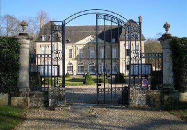
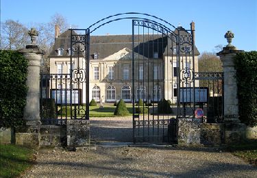
8.7 km | 10.4 km-effort
Gisors - Le Boisgeloup
marcel.F
User
Length
8 km
Max alt
149 m
Uphill gradient
103 m
Km-Effort
9.3 km
Min alt
68 m
Downhill gradient
100 m
Boucle
Yes
Creation date :
2017-01-31 00:00:00.0
Updated on :
2019-04-10 14:13:34.083
2h04
Difficulty : Easy
FREE GPS app for hiking
About
Trail Walking of 8 km to be discovered at Normandy, Eure, Gisors. This trail is proposed by marcel.F.
Description
Boucle au départ église de Boisgeloup via Courcelles-lès-Gisors
Positioning
Country:
France
Region :
Normandy
Department/Province :
Eure
Municipality :
Gisors
Location:
Unknown
Start:(Dec)
Start:(UTM)
411259 ; 5456745 (31U) N.
Comments
Trails nearby
Delincourt, Le Mesnil, Reilly, La vierge, Delincourt
Walking
Medium
(1)
Delincourt,
Hauts-de-France,
Oise,
France
2h 16min
Yes
Boury en Vexin - Hérouval
Walking
Easy
(3)
Boury-en-Vexin,
Hauts-de-France,
Oise,
France
10.9 km | 12.9 km-effort
2h 49min
Yes
Vaudancourt - Breuil et Boury
Walking
Easy
(1)
Vaudancourt,
Hauts-de-France,
Oise,
France
11.8 km | 14.3 km-effort
3h 5min
Yes
Marche Nordique 75 Boury en Vexin
Nordic walking
Easy
(1)
Boury-en-Vexin,
Hauts-de-France,
Oise,
France
10.3 km | 12.6 km-effort
1h 30min
Yes
Marche Nordique 71 Courcelles les Gisors
Nordic walking
Very easy
(2)
Courcelles-lès-Gisors,
Hauts-de-France,
Oise,
France
9.2 km | 10.9 km-effort
1h 26min
Yes
CHAMBORS - Lattainville-Delincourt-Reillly
Walking
Very easy
(1)
Chambors,
Hauts-de-France,
Oise,
France
12.3 km | 15.2 km-effort
2h 54min
Yes
Marche Nordique 61 Chambors
Nordic walking
Easy
(1)
Chambors,
Hauts-de-France,
Oise,
France
8.4 km | 10.3 km-effort
1h 30min
Yes
Trie Château - La vallée de l'Aunette
Walking
Difficult
(1)
Trie-Château,
Hauts-de-France,
Oise,
France
11.8 km | 13.7 km-effort
3h 0min
Yes
Montjavoult - Vaudancourt
Walking
Easy
(1)
Montjavoult,
Hauts-de-France,
Oise,
France
10.2 km | 12.2 km-effort
2h 39min
Yes