


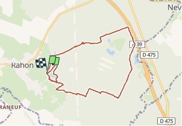

8.8 km | 10 km-effort


User


FREE GPS app for hiking
 SityTrail
IGN / Geographical institutes
SityTrail World
The world is yours!
Trail Nordic walking of 10.5 km to be discovered at Bourgogne-Franche-Comté, Jura, Rahon. This trail is proposed by albert39.
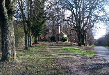
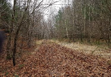
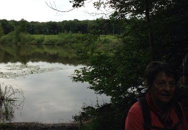
Départ parcours de santé, traversé bois de Rahon, chemin blanc le long de l'autoroute, retour par les étangs (2 tours) au parking.
Nordic walking

Walking
Walking
Walking
Nordic walking
Walking
Walking
Walking
Nordic walking