Trail Other activity Arzier - Toblerones - Photo
 Dgubler
Dgubler

User

© OpenStreetMap contributors
Length
Length
2.7 km
Max alt
Max alt
760 m
Uphill gradient
Uphill gradient
0 m
Km-Effort
Km-Effort  
3.3 km
Min alt
Min alt
572 m
Downhill gradient
Downhill gradient
185 m
Boucle
Boucle
No
Creation date :
2014-12-11 00:00:00.0
Updated on :
2014-12-11 00:00:00.0

(0 Reviews)

Other activity
Other activity
--
Difficulty : Unknown

Scan this QR Code to open this trail in the SityTrail application

FREE GPS app for hiking

Logo SityTrail SityTrail

IGN / Geographical institutes

Download SityTrail from the App Store Download SityTrail from Google Play

Logo SityTrail SityTrail World

The world is yours!

Download SityTrail from the App Store Download SityTrail from Google Play Download SityTrail on Huawei AppGallery

About

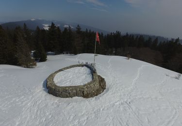
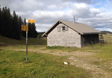
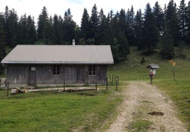
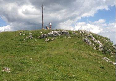
Trail Other activity of 2.7 km to be discovered at Vaud, District de Nyon, Arzier. This trail is proposed by Dgubler.

Description

Sentier des Toblerones entre la halte de Bassins (NStCM) et La Cézille. Belle ballade en forêt. Le sentier complet descend jusqu''au bord du Léman à Gland.

Toblerone is of course a famous Swiss chocolate bar. But the Toblerone Line is the nickname of concrete anti-tank barriers that scatter the Swiss landscape. With the long-lasting peace, the concrete blocks have become home for lizards and rare plants! A nice hike on the foothills of the Jura. I have the route on my GPS, haven''t managed to upload it yet!

Elevation profile

Positioning

Country:
Switzerland
Region :
Vaud
Department/Province :
District de Nyon
Municipality :
Arzier
Location:
Unknown
Start:(UTM)
286758 ; 5148999 (32T) N.

Trails nearby

Trail On foot Marchissy - Sentier du Coq - Photo
On foot
GUIDE+

On foot

Easy
Marchissy, Vaud, District de Nyon, Switzerland
5.7 km | 11.2 km-effort
2h 32min
No
Trail Walking Bassins - Creux du Croue depuis route des Pralets - Photo
Walking
tonymeyer

Walking

Easy
Bassins, Vaud, District de Nyon, Switzerland
14.5 km | 21 km-effort
4h 16min
Yes
Trail Walking Bassins - Le Sentier des Begnines - Photo
Walking
tonymeyer

Walking

Easy
Bassins, Vaud, District de Nyon, Switzerland
14.9 km | 21 km-effort
4h 0min
Yes
Trail Walking Bassins - Mont Sala depuis près des Pralets - Photo
Walking
tonymeyer

Walking

Easy
Bassins, Vaud, District de Nyon, Switzerland
7.4 km | 10.7 km-effort
2h 17min
Yes
Trail Other activity Bassins - y10_tobleroneweg - Photo
Other activity
GUIDE+

Other activity

Very easy
Bassins, Vaud, District de Nyon, Switzerland
23 km | 28 km-effort
5h 54min
No
Trail Walking Saint-Cergue - hike11 - Photo
Walking
GUIDE+

Walking

Very easy
Saint-Cergue, Vaud, District de Nyon, Switzerland
19.5 km | 30 km-effort
Unknown
No
Trail Walking Bassins - Vom Jura zum Genfersee entlang der
Walking
GUIDE+

Walking

Very easy
Bassins, Vaud, District de Nyon, Switzerland
18.8 km | 22 km-effort
Unknown
No
Trail Equestrian Luins - luins, coinsins, trelex gingins, trelex givrins genolier luins - Photo
Equestrian
yuka12

Equestrian

Very easy
Luins, Vaud, District de Nyon, Switzerland
23 km | 27 km-effort
Unknown
Yes
Trail Equestrian Luins - luins bois de chenes luins - Photo
Equestrian
yuka12

Equestrian

Medium
Luins, Vaud, District de Nyon, Switzerland
9 km | 13.4 km-effort
Unknown
No


Close
My subscriptions