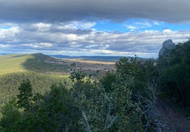
Trail Walking Carnas - Carnas bois de Paris - Photo

Carnas bois de Paris

 CAMBON
CAMBON

User

© OpenStreetMap contributors
Length
Length
12.8 km
Max alt
Max alt
239 m
Uphill gradient
Uphill gradient
210 m
Km-Effort
Km-Effort  
15.6 km
Min alt
Min alt
86 m
Downhill gradient
Downhill gradient
209 m
Boucle
Boucle
Yes
Creation date :
2014-12-10 00:00:00.0
Updated on :
2014-12-10 00:00:00.0

(2 Reviews)

Walking
Walking
4h00
Difficulty : Medium

Scan this QR Code to open this trail in the SityTrail application

FREE GPS app for hiking

Logo SityTrail SityTrail

IGN / Geographical institutes

Download SityTrail from the App Store Download SityTrail from Google Play

Logo SityTrail SityTrail World

The world is yours!

Download SityTrail from the App Store Download SityTrail from Google Play Download SityTrail on Huawei AppGallery

About

Trail Walking of 12.8 km to be discovered at Occitania, Gard, Carnas. This trail is proposed by CAMBON.

Description

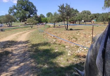
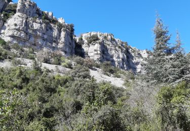
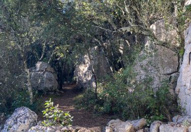
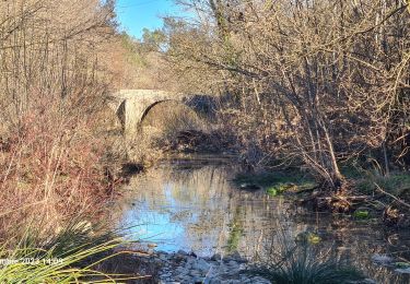
Promenade agréable, prévoir une lampe torche pour descendre avec prudence dans la grotte de Bois de Paris (escaliers aménagés)
         

Elevation profile

Photos

Points of interest

Point of interest Carnas - Point 2 - Photo
CAMBON
CARNAS 
Point of interest Aspères - Point 6 - Photo
CAMBON
ASPÈRES 
Point of interest Aspères - Point 7 - Photo
CAMBON
ASPÈRES 

Positioning

Country:
France
Region :
Occitania
Department/Province :
Gard
Municipality :
Carnas
Location:
Unknown
Start:(UTM)
579593 ; 4853883 (31T) N.

Comments

Please log in to post a review or rate the element


belle randonnées par beau soleil d hiver. vues de la mer er du pic st loup.


Trails nearby

Trail Horseback riding Orthoux-Sérignac-Quilhan - mas bas - corconnes en boucle - Photo
Horseback riding
GUIDE
David25400

Horseback riding

Medium
Orthoux-Sérignac-Quilhan, Occitania, Gard, France
22 km | 26 km-effort
4h 51min
Yes
Trail Walking Saint-Clément - Le bois de Paris - Grotte, Table d'orientation, Oppidum - Photo
Walking
f4tnk

Walking

Medium
(1)
Saint-Clément, Occitania, Gard, France
8.2 km | 10.9 km-effort
2h 29min
Yes
Trail Walking Corconne - 30 corconne - Photo
Walking
GUIDE
randodyssée

Walking

Easy
Corconne, Occitania, Gard, France
8.8 km | 12.4 km-effort
3h 45min
Yes
Trail Walking Corconne - Corconne et la forêt de Coutach - Photo
Walking
grageot

Walking

Easy
(2)
Corconne, Occitania, Gard, France
18.1 km | 25 km-effort
5h 26min
Yes
Trail Walking Corconne - Corconne - Photo
Walking
Ptitjack30

Walking

Medium
(1)
Corconne, Occitania, Gard, France
11.4 km | 15.2 km-effort
3h 28min
No
Trail Walking Corconne - CORCONNE  - Photo
Walking
GUIDE
Roger Philippe Wallez

Walking

Difficult
Corconne, Occitania, Gard, France
10.2 km | 13.8 km-effort
4h 17min
Yes
Trail Walking Aspères - Aspères - Photo
Walking
GUIDE
nadinebondoux

Walking

Easy
Aspères, Occitania, Gard, France
10.4 km | 13.6 km-effort
3h 27min
No
Trail Walking Vacquières - chapelle D'Aleyrac vers vacquieres parc du duc - Photo
Walking
v.rabot

Walking

Difficult
Vacquières, Occitania, Hérault, France
12.9 km | 15.3 km-effort
3h 28min
Yes
Trail Walking Aspères - Aspères - Photo
Walking
GUIDE
Roger Philippe Wallez

Walking

Difficult
Aspères, Occitania, Gard, France
12.6 km | 16.4 km-effort
4h 26min
Yes


Close
My subscriptions