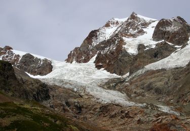
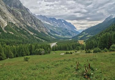
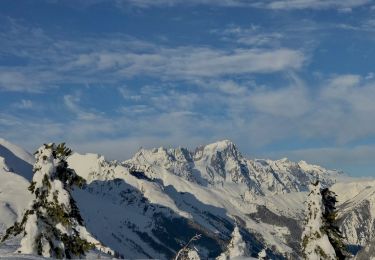
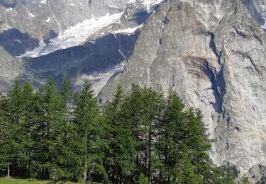
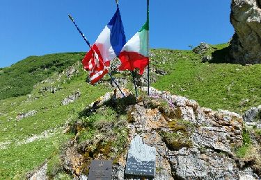
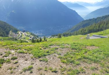
17.9 km | 27 km-effort
youla puis hors piste face sud mont blanc
diskatorat
User
Length
9.5 km
Max alt
2625 m
Uphill gradient
949 m
Km-Effort
25 km
Min alt
1516 m
Downhill gradient
1728 m
Boucle
No
Creation date :
2014-12-11 00:00:00.0
Updated on :
2014-12-11 00:00:00.0
31m
Difficulty : Very difficult
FREE GPS app for hiking
About
Trail Other activity of 9.5 km to be discovered at Aosta Valley, Unknown, Courmayeur. This trail is proposed by diskatorat.
Positioning
Country:
Italy
Region :
Aosta Valley
Department/Province :
Unknown
Municipality :
Courmayeur
Location:
Unknown
Start:(Dec)
Start:(UTM)
335916 ; 5073976 (32T) N.
Comments
Trails nearby
Alta Via n. 2 della Valle d'Aosta - Tappa 2
On foot
Medium
Courmayeur,
Aosta Valley,
Unknown,
Italy
6h 10min
No
(SI F07) Rifugio Elisabetta - Courmayeur
On foot
Medium
Courmayeur,
Aosta Valley,
Unknown,
Italy
14.9 km | 25 km-effort
5h 39min
No
The Three Monts
On foot
Easy
Courmayeur,
Aosta Valley,
Unknown,
Italy
7 km | 15.8 km-effort
3h 36min
No
Mont Fortin
On foot
Difficult
Courmayeur,
Aosta Valley,
Unknown,
Italy
17.9 km | 32 km-effort
7h 19min
Yes
étape monte Bianco mottets
Walking
Difficult
Courmayeur,
Aosta Valley,
Unknown,
Italy
21 km | 38 km-effort
8h 17min
No
TMB J5 Ref. BIANCO - LES MOTTETS
Walking
Difficult
Courmayeur,
Aosta Valley,
Unknown,
Italy
20 km | 38 km-effort
7h 49min
No
TMB Étape 3 : Refuge Elisabetha Soldini au Camping des Grandes Jorasses par l...
Walking
Very difficult
Courmayeur,
Aosta Valley,
Unknown,
Italy
21 km | 35 km-effort
7h 58min
No
tmb2024 étape 4
Walking
Difficult
Courmayeur,
Aosta Valley,
Unknown,
Italy
17.8 km | 33 km-effort
6h 56min
No