11.4 km | 14.3 km-effort
gravelle 24
ml24
User
Length
9.6 km
Max alt
145 m
Uphill gradient
114 m
Km-Effort
11.2 km
Min alt
69 m
Downhill gradient
118 m
Boucle
Yes
Creation date :
2014-12-10 00:00:00.0
Updated on :
2014-12-10 00:00:00.0
2h26
Difficulty : Easy
FREE GPS app for hiking
About
Trail Walking of 9.6 km to be discovered at New Aquitaine, Dordogne, Annesse-et-Beaulieu. This trail is proposed by ml24.
Description
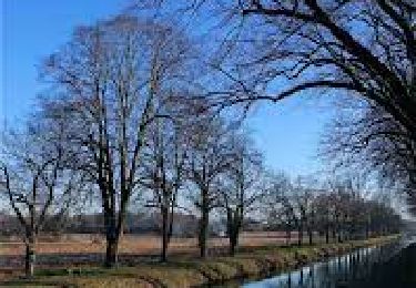
Un peu trop de route, mais la fin de la rando sur les bords du canal est tres agréable.
Positioning
Country:
France
Region :
New Aquitaine
Department/Province :
Dordogne
Municipality :
Annesse-et-Beaulieu
Location:
Unknown
Start:(Dec)
Start:(UTM)
310733 ; 5005045 (31T) N.
Comments
Trails nearby
GR654 ST ASTIER BERGERAC PINEL
Walking
Difficult
(3)
Saint-Astier,
New Aquitaine,
Dordogne,
France
122 km | 150 km-effort
31h 13min
No
boucle des 3 lavoirs
Walking
Easy
Coursac,
New Aquitaine,
Dordogne,
France
9 km | 12.3 km-effort
1h 46min
No
Gravelle
Walking
Difficult
Annesse-et-Beaulieu,
New Aquitaine,
Dordogne,
France
11.5 km | 13.5 km-effort
3h 4min
Yes
Boucle de Gravelle
Walking
Difficult
Annesse-et-Beaulieu,
New Aquitaine,
Dordogne,
France
13.1 km | 16.2 km-effort
3h 40min
Yes
Boucle de Razac sur l'Isle
Walking
Difficult
Razac-sur-l'Isle,
New Aquitaine,
Dordogne,
France
13.2 km | 16.3 km-effort
3h 41min
Yes
Leguillac 12km
Walking
Medium
Léguillac-de-l'Auche,
New Aquitaine,
Dordogne,
France
12.1 km | 16.1 km-effort
2h 45min
Yes
Boucle de la Terrassonnie
Walking
Easy
Chancelade,
New Aquitaine,
Dordogne,
France
11.2 km | 14.7 km-effort
3h 37min
Yes
24 Léguillac de l'Auche
Walking
Easy
Léguillac-de-l'Auche,
New Aquitaine,
Dordogne,
France
13.8 km | 18 km-effort
3h 57min
Yes