


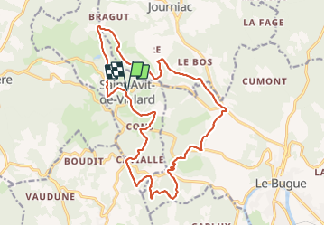

18.8 km | 25 km-effort


User


FREE GPS app for hiking
 SityTrail
IGN / Geographical institutes
SityTrail World
The world is yours!
Trail Walking of 21 km to be discovered at New Aquitaine, Dordogne, Saint-Avit-de-Vialard. This trail is proposed by lacostej.

Walking
Walking

Walking
Walking

Walking

Other activity
Walking

On foot
Walking
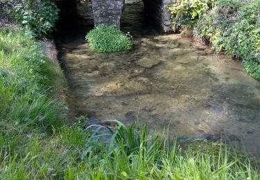
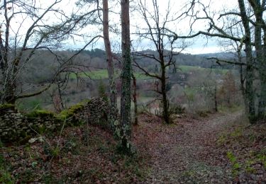
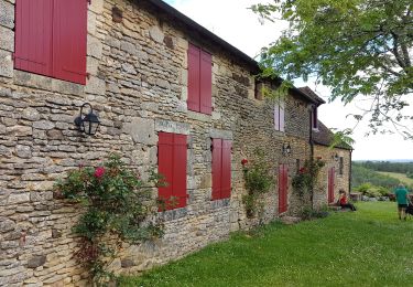
Belle rando dans les bois de châtaigniers ,par des chemins et des petites routes. Attention au point 175,croisement du hameau Malivert,ne pas prendre le chemin à gauche, continuer tout droit ,passer Les Granges et plus loin tourner à gauche par un large chemin pour retrouver le circuit. Merci Audier.