


9.4 km | 12.6 km-effort


User


FREE GPS app for hiking
 SityTrail
IGN / Geographical institutes
SityTrail World
The world is yours!
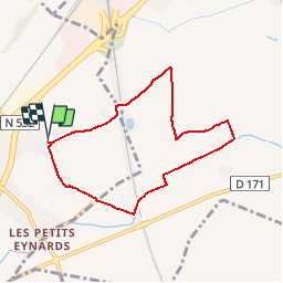
Trail Other activity of 7 km to be discovered at Auvergne-Rhône-Alpes, Drôme, Saint-Marcel-lès-Valence. This trail is proposed by michelguilhou.
Prendre à Droite direction «Carabony» puis 30 m après prendre à Gauche direction « Les Barris »
2- Chemin des Barris, marcher jusqu’à l’intersection avec la route qui va aux Petits Eynards. Traverser en prenant, presque en face, une petite route goudronnée qui reste dans la même direction.
2 bis- Quand la route tourne à Droite continuer tout droit en prenant le chemin de terre en direction du pont TGV.
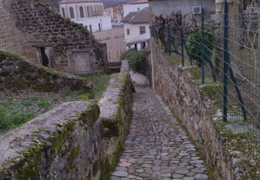
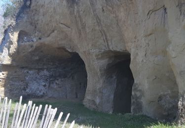
3- Juste avant le ruisseau de la Barberolle prendre à Gauche et passer sous le pont du TGV (photo point 3)
4- Après le pont, remonter sur la digue puis continuer à longer le ruisseau sur sa rive droite
5- Tourner à Gauche puis 150 m après à Droite en longeant toujours le ruisseau. Tout droit ensuite sur 1 km.
6- A l’intersection avec une petite route tourner à Gauche, passer au travers de grandes haies de clôtures de la ferme « Coulet », la traverser.
7- A la sortie de la ferme prendre la route à Gauche
8- Continuer 600 m et tourner à droite (pylône avec transformateur au carrefour) sur le chemin de la ferme « Beaulieu »
9- Au bout de la route, à l’intersection (borne incendie), tourner à Gauche chemin de la Bergère.
10- Prendre le pont sur le TGV. A la sortie du pont tourner à Gauche puis tout de suite à Droite. Vous êtes sur la route de retour des Mirabeaux.

Walking
Walking
Walking
Walking
Walking
Walking
Walking
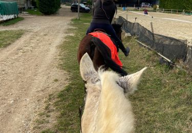
Horseback riding

Horseback riding