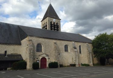
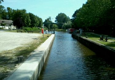
13.6 km | 15.1 km-effort
les ballastieres
corail45
User
Length
8.7 km
Max alt
102 m
Uphill gradient
48 m
Km-Effort
9.4 km
Min alt
89 m
Downhill gradient
47 m
Boucle
Yes
Creation date :
2014-12-10 00:00:00.0
Updated on :
2014-12-10 00:00:00.0
2h06
Difficulty : Unknown
FREE GPS app for hiking
About
Trail Walking of 8.7 km to be discovered at Centre-Loire Valley, Loiret, Saint-Denis-en-Val. This trail is proposed by corail45.
Positioning
Country:
France
Region :
Centre-Loire Valley
Department/Province :
Loiret
Municipality :
Saint-Denis-en-Val
Location:
Unknown
Start:(Dec)
Start:(UTM)
424705 ; 5304649 (31T) N.
Comments
Trails nearby
vtt Patrick Pensuet et Pascal Robinet
Mountain bike
Easy
Chécy,
Centre-Loire Valley,
Loiret,
France
1h 8min
Yes
Du château de Charbonnière au château de Chamerolles
Mountain bike
Medium
Saint-Jean-de-Braye,
Centre-Loire Valley,
Loiret,
France
36 km | 40 km-effort
3h 0min
No
Combleux 1
Walking
Combleux,
Centre-Loire Valley,
Loiret,
France
4.9 km | 5.3 km-effort
1h 14min
Yes
Charbonnière 2
Walking
Saint-Jean-de-Braye,
Centre-Loire Valley,
Loiret,
France
4.5 km | 5 km-effort
1h 4min
Yes
Randonnée Sandillon
Walking
Medium
Sandillon,
Centre-Loire Valley,
Loiret,
France
30 km | 33 km-effort
5h 12min
Yes
Mardier bou
Walking
Very easy
Mardié,
Centre-Loire Valley,
Loiret,
France
15.2 km | 16.5 km-effort
3h 7min
Yes
Untitled
Walking
Medium
Mardié,
Centre-Loire Valley,
Loiret,
France
12.6 km | 13.7 km-effort
3h 3min
Yes
Trajet 2
Mountain bike
Medium
Chécy,
Centre-Loire Valley,
Loiret,
France
25 km | 27 km-effort
1h 45min
Yes
Chemin 22 km numéro 1
Mountain bike
Medium
Chécy,
Centre-Loire Valley,
Loiret,
France
22 km | 24 km-effort
1h 30min
Yes