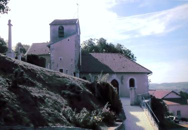
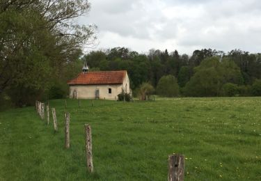
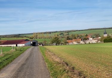
13.3 km | 16.4 km-effort
MJW 4-3
hubbi
User
Length
9.1 km
Max alt
369 m
Uphill gradient
171 m
Km-Effort
11.5 km
Min alt
280 m
Downhill gradient
202 m
Boucle
No
Creation date :
2014-12-10 00:00:00.0
Updated on :
2014-12-10 00:00:00.0
2h29
Difficulty : Easy
FREE GPS app for hiking
About
Trail Walking of 9.1 km to be discovered at Grand Est, Vosges, Soulosse-sous-Saint-Élophe. This trail is proposed by hubbi.
Description
Soulosse-sous-Saint-Élophe - Neufchâteau
Positioning
Country:
France
Region :
Grand Est
Department/Province :
Vosges
Municipality :
Soulosse-sous-Saint-Élophe
Location:
Unknown
Start:(Dec)
Start:(UTM)
702847 ; 5365224 (31U) N.
Comments
Trails nearby
Sentier de Jeanne - Variante Maxey-Brixey
On foot
Easy
Maxey-sur-Meuse,
Grand Est,
Vosges,
France
7.8 km | 9.8 km-effort
2h 13min
Yes
DOMRÉMY LA PUCELLE
On foot
Easy
(1)
Domrémy-la-Pucelle,
Grand Est,
Vosges,
France
10.9 km | 13.7 km-effort
3h 6min
Yes
Autigny la tour marche gourmande 25 aout 2024 anime ta campagne
Horseback riding
Difficult
Autigny-la-Tour,
Grand Est,
Vosges,
France
28 km | 34 km-effort
4h 24min
Yes
Anime ta campagne marche gourmande à Autigny la tour 25 aout 2024
Horseback riding
Difficult
Autigny-la-Tour,
Grand Est,
Vosges,
France
28 km | 34 km-effort
4h 24min
Yes
Saint Elophe et Brancourt
Walking
Very easy
Soulosse-sous-Saint-Élophe,
Grand Est,
Vosges,
France
4.1 km | 5 km-effort
1h 3min
Yes
de Coussey à Vouthon
Walking
Medium
Coussey,
Grand Est,
Vosges,
France
11.3 km | 14.3 km-effort
2h 9min
No
projet 3 Orléans
Road bike
Medium
Domrémy-la-Pucelle,
Grand Est,
Vosges,
France
356 km | 391 km-effort
23h 41min
No
domremy la pucelle
Walking
Easy
Domrémy-la-Pucelle,
Grand Est,
Vosges,
France
4.6 km | 5.7 km-effort
2h 27min
Yes