


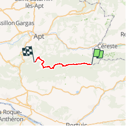

15.7 km | 26 km-effort


User


FREE GPS app for hiking
 SityTrail
IGN / Geographical institutes
SityTrail World
The world is yours!
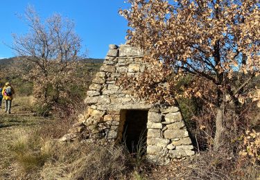
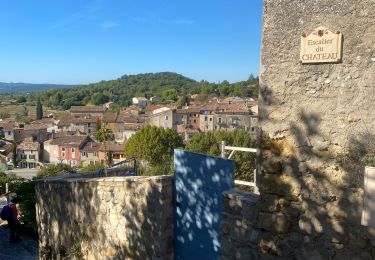
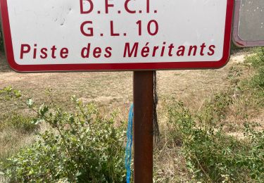
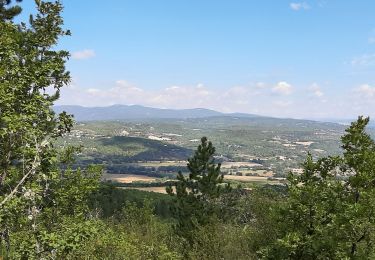
Trail Other activity of 18.6 km to be discovered at Provence-Alpes-Côte d'Azur, Vaucluse, Peypin-d'Aigues. This trail is proposed by derrives.
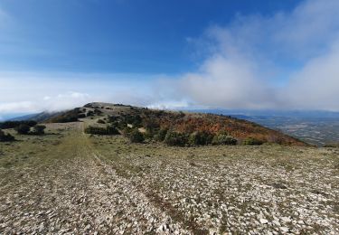
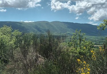
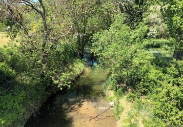
les Crêtes , le Mourre Negre , ferme du Castellas , les Seguins
Walking

Cycle

Walking
Walking
Walking
Walking
Walking
Walking
Walking