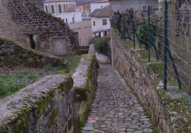
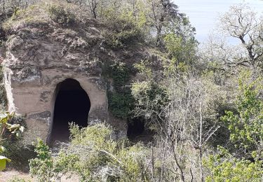
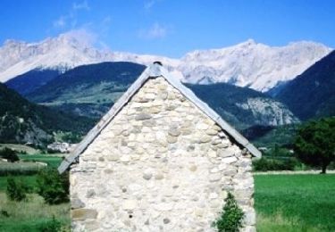
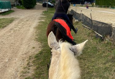
Trail Walking Saint-Marcel-lès-Valence - Balade VSM N°1 Fouillouse - Photo
© OpenStreetMap contributors
Length
Length
9.3 km
Max alt
Max alt
195 m
Uphill gradient
Uphill gradient
86 m
Km-Effort
Km-Effort  
10.5 km
Min alt
Min alt
160 m
Downhill gradient
Downhill gradient
86 m
Boucle
Boucle
Yes
Creation date :
2014-12-10 00:00:00.0
Updated on :
2014-12-10 00:00:00.0

(0 Reviews)

Walking
Walking
2h00
Difficulty : Easy

Scan this QR Code to open this trail in the SityTrail application

FREE GPS app for hiking

Logo SityTrail SityTrail

IGN / Geographical institutes

Download SityTrail from the App Store Download SityTrail from Google Play

Logo SityTrail SityTrail World

The world is yours!

Download SityTrail from the App Store Download SityTrail from Google Play Download SityTrail on Huawei AppGallery

About

Trail Walking of 9.3 km to be discovered at Auvergne-Rhône-Alpes, Drôme, Saint-Marcel-lès-Valence. This trail is proposed by michelguilhou.

Description

DEPART de la mairie,
direction de l’église, prendre le « Pass’âge » et monter par la côte de Surel.
1) Au 1ier virage à droite, prendre sur la Gauche : la rue du plateau.
2) Au bout de la rue du plateau, balise « céder le passage », prendre la rue sur la Droite.
Puis la 1ière petite route à Gauche en direction des « Carrières »
3) Laisser la belle ferme « Patry » à Gauche et continuer jusqu’au carrefour
Laisser à Gauche la direction des « Carrières » et prendre à Droite
4) Tourner sur le chemin à Gauche, le long de la haie de peupliers, à 200m de la route de Chateauneuf
5) Attention, dans le creux, prendre le premier chemin de terre à Gauche, jusqu’aux 2 propriétés clôturées
6) 100m après les 2 propriétés, prendre un chemin à Droite, le long d’une haie d’arbres
7) Juste après la station météo, on arrive sur une route. Prendre à Droite
Par temps clair, admirer le Vercors et les monts d’Ardèche
8) Continuer la route. En face d’un grand hangar agricole, prendre la route à Droite jusqu’à Fouillouse.
Continuer 100 m après le stop
9) Tourner à Droite aux 6 boîtes aux lettres
10) Au niveau du virage à Gauche, prendre le chemin de terre à Droite
11) Tourner sur le 1ier chemin à Gauche, (borne d’arrosage). A l’élevage du mas des Vernets on retrouve le goudron jusqu’à la route.
12) Prendre la route à Gauche, sur 50 m puis à Droite le chemin de terre jusqu’à l’ancienne route de Chateauneuf, continuer jusqu’à l’indication à Gauche « cimetière ». Passer devant le cimetière et rejoindre le Pass’âge

Elevation profile

Points of interest

Point of interest Saint-Marcel-lès-Valence - départ  point 1 - Photo
michelguilhou
SAINT-MARCEL-LÈS-VALENCE 
Point of interest Saint-Marcel-lès-Valence - point 2 - Photo
michelguilhou
SAINT-MARCEL-LÈS-VALENCE 
Point of interest Saint-Marcel-lès-Valence - point3 - Photo
michelguilhou
SAINT-MARCEL-LÈS-VALENCE 
Point of interest Saint-Marcel-lès-Valence - point 4 - Photo
michelguilhou
SAINT-MARCEL-LÈS-VALENCE 
Point of interest Saint-Marcel-lès-Valence - point 5 - Photo
michelguilhou
SAINT-MARCEL-LÈS-VALENCE 
Point of interest Saint-Marcel-lès-Valence - point 6 - Photo
michelguilhou
SAINT-MARCEL-LÈS-VALENCE 
Point of interest Saint-Marcel-lès-Valence - point  7 - Photo
michelguilhou
SAINT-MARCEL-LÈS-VALENCE 
Point of interest Châteauneuf-sur-Isère - point 8 - Photo
michelguilhou
CHÂTEAUNEUF-SUR-ISÈRE 
Point of interest Châteauneuf-sur-Isère - point 9 - Photo
michelguilhou
CHÂTEAUNEUF-SUR-ISÈRE 
Point of interest Châteauneuf-sur-Isère - point 10 - Photo
michelguilhou
CHÂTEAUNEUF-SUR-ISÈRE 
Point of interest Châteauneuf-sur-Isère - point  11 - Photo
michelguilhou
CHÂTEAUNEUF-SUR-ISÈRE 

Positioning

Country:
France
Region :
Auvergne-Rhône-Alpes
Department/Province :
Drôme
Municipality :
Saint-Marcel-lès-Valence
Location:
Unknown
Start:(UTM)
654097 ; 4981560 (31T) N.

Trails nearby

Trail Walking Saint-Marcel-lès-Valence - Balade  VSM N° 5 -  pour rejoindre le Guimand - Photo
Walking
michelguilhou

Walking

Very easy
(2)
Saint-Marcel-lès-Valence, Auvergne-Rhône-Alpes, Drôme, France
9.5 km | 10 km-effort
2h 15min
Yes
Trail Walking Châteauneuf-sur-Isère - 26 Châteauneuf didier - Photo
Walking
GUIDE
randodyssée

Walking

Easy
Châteauneuf-sur-Isère, Auvergne-Rhône-Alpes, Drôme, France
6.6 km | 9.4 km-effort
2h 40min
Yes
Trail Walking Châteauneuf-sur-Isère - Châteauneuf/isere - Photo
Walking
cousam

Walking

Easy
Châteauneuf-sur-Isère, Auvergne-Rhône-Alpes, Drôme, France
10.6 km | 14.8 km-effort
3h 39min
Yes
Trail Walking Saint-Marcel-lès-Valence - Vers le Guimand - Photo
Walking
bernadette revoux

Walking

Very easy
Saint-Marcel-lès-Valence, Auvergne-Rhône-Alpes, Drôme, France
12.5 km | 13.2 km-effort
3h 1min
No
Trail Walking Châteauneuf-sur-Isère - 26 château Neuf sur Isère 08 05 21 - Photo
Walking
GUIDE
randodyssée

Walking

Very easy
Châteauneuf-sur-Isère, Auvergne-Rhône-Alpes, Drôme, France
5.5 km | 8 km-effort
2h 7min
Yes
Trail Mountain bike Valence - Grande Traversée des PréAlpes à VTT : Valence - Gap - Sisteron - Photo
Mountain bike
tracegps

Mountain bike

Very difficult
(1)
Valence, Auvergne-Rhône-Alpes, Drôme, France
366 km | 505 km-effort
48h 0min
No
Trail Mountain bike Valence - Grande Traversée des PréAlpes à VTT : Valence - Livron sur Drôme - Photo
Mountain bike
tracegps

Mountain bike

Medium
Valence, Auvergne-Rhône-Alpes, Drôme, France
32 km | 34 km-effort
2h 0min
No
Trail Horseback riding Bourg-lès-Valence - Télégraphe  - Photo
Horseback riding
002019.2b494ff34774424a8b2d13bb4038e044.1757

Horseback riding

Medium
Bourg-lès-Valence, Auvergne-Rhône-Alpes, Drôme, France
13.7 km | 15.2 km-effort
1h 51min
Yes
Trail Horseback riding Bourg-lès-Valence - balade 1 - Photo
Horseback riding
AsGood2607

Horseback riding

Easy
Bourg-lès-Valence, Auvergne-Rhône-Alpes, Drôme, France
10.3 km | 11.5 km-effort
1h 47min
Yes


Close
My subscriptions