22 km | 30 km-effort
Houx SV12 trace officielle
pjjrevrard
User
Length
1 km
Max alt
204 m
Uphill gradient
27 m
Km-Effort
1.4 km
Min alt
175 m
Downhill gradient
25 m
Boucle
No
Creation date :
2014-12-10 00:00:00.0
Updated on :
2014-12-10 00:00:00.0
20m
Difficulty : Unknown
FREE GPS app for hiking
About
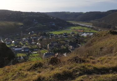
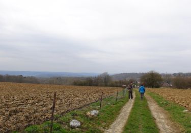
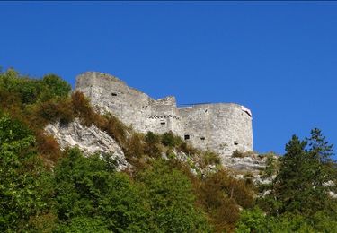
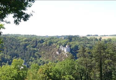
Trail Walking of 1 km to be discovered at Wallonia, Namur, Yvoir. This trail is proposed by pjjrevrard.
Positioning
Country:
Belgium
Region :
Wallonia
Department/Province :
Namur
Municipality :
Yvoir
Location:
Houx
Start:(Dec)
Start:(UTM)
636512 ; 5573276 (31U) N.
Comments
Trails nearby
RB-Na-03 Forteresses, citadelle et abbaye mosanes
Walking
Difficult
(11)
Yvoir,
Wallonia,
Namur,
Belgium
7h 1min
Yes
Balade à Dinant - La Réserve Naturelle de Moniat
Walking
Very easy
(1)
Dinant,
Wallonia,
Namur,
Belgium
8.4 km | 10.9 km-effort
3h 54min
Yes
D'Yvoir à Evrehailles
Walking
Easy
(2)
Yvoir,
Wallonia,
Namur,
Belgium
9.9 km | 13.2 km-effort
2h 51min
Yes
Balade à Bouvignes
Walking
Easy
(3)
Dinant,
Wallonia,
Namur,
Belgium
4.8 km | 7.2 km-effort
1h 34min
Yes
Balade en Réserve Naturelle de Devant Bouvignes
Walking
Very easy
(3)
Dinant,
Wallonia,
Namur,
Belgium
4.9 km | 6.9 km-effort
1h 32min
Yes
Dinant: autour de la Citadelle.
Walking
Easy
(4)
Dinant,
Wallonia,
Namur,
Belgium
5.7 km | 7.5 km-effort
1h 40min
Yes
Le long du Bocq Yvoir
Walking
Very easy
(6)
Yvoir,
Wallonia,
Namur,
Belgium
6.9 km | 9.2 km-effort
1h 37min
Yes
Le long du Bocq de Bauche à Chansin
Walking
Easy
(2)
Yvoir,
Wallonia,
Namur,
Belgium
10.9 km | 14.1 km-effort
3h 1min
Yes
DINANT ... Montagne de la Croix et l’ île d'Amour.
Walking
Medium
(1)
Dinant,
Wallonia,
Namur,
Belgium
11.5 km | 15.5 km-effort
3h 13min
Yes