


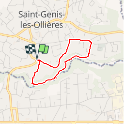

10.3 km | 13.1 km-effort


User


FREE GPS app for hiking
 SityTrail
IGN / Geographical institutes
SityTrail World
The world is yours!
Trail Walking of 2.7 km to be discovered at Auvergne-Rhône-Alpes, Métropole de Lyon, Saint-Genis-les-Ollières. This trail is proposed by tracegps.
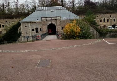
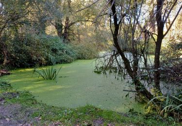
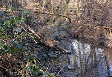
A voir: Nénuphars, ruisseau du Ratier, passerelle, gros cailloux, parc pour enfant avec une «araignée». Un havre de paix au milieu de la ville. Toutes les informations sur notre site .


Walking

Walking

Mountain bike

Horseback riding
Mountain bike
Walking

Walking
Walking
Walking
N'importe où en France, je trouve une ballade superbe. Très bel outil