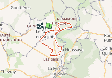


10.3 km | 11.8 km-effort

User


FREE GPS app for hiking
 SityTrail
IGN / Geographical institutes
SityTrail World
The world is yours!
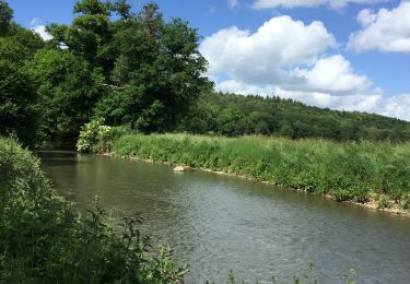
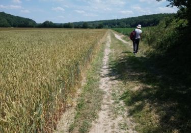
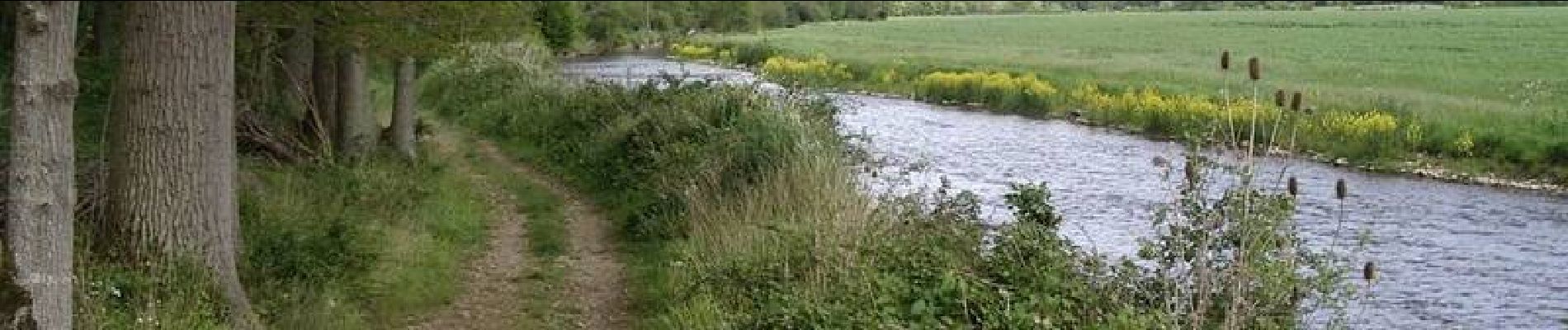
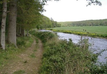
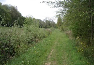
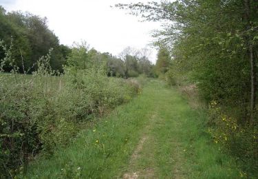
Trail Walking of 10.3 km to be discovered at Normandy, Eure, Le Noyer-en-Ouche. This trail is proposed by tracegps.
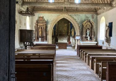
Départ de la mairie du Noyer en Ouche. A voir en chemin: l'église Notre Dame du XIXe et l'église de Mancelles. Retrouvez ce circuit, parmi 17 autres, sur le dépliant proposé par l’Office de Tourisme de Beaumesnil.


Walking

Walking

Walking
Mountain bike
Walking

Walking