


14.1 km | 19.1 km-effort

User


FREE GPS app for hiking
 SityTrail
IGN / Geographical institutes
SityTrail World
The world is yours!
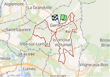
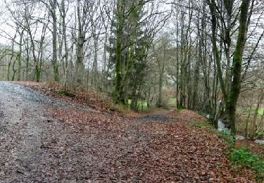
Trail Mountain bike of 22 km to be discovered at Grand Est, Ardennes, Gernelle. This trail is proposed by tracegps.
Départ de l'église de Gernelle. Circuit varié dans les bois et en lisière, dans les champs...peu difficile car peu de dénivelé. Très peu de routes et peu fréquentées.


Walking
Walking
Walking
Mountain bike
Mountain bike
Walking
Walking
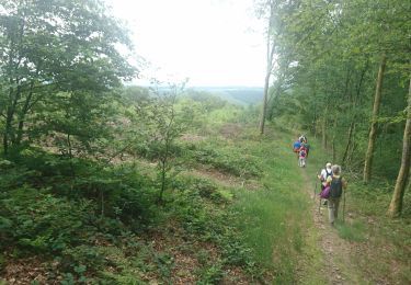
Walking

Walking