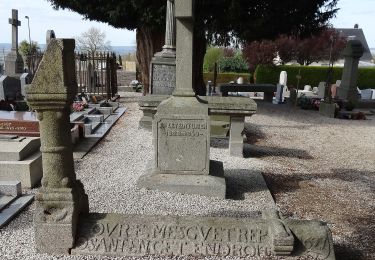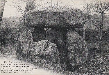

Rando « Granit Eau Bois 2012 »

tracegps
User

Length
43 km

Max alt
348 m

Uphill gradient
778 m

Km-Effort
53 km

Min alt
108 m

Downhill gradient
695 m
Boucle
No
Creation date :
2014-12-10 00:00:00.0
Updated on :
2014-12-10 00:00:00.0
7h30
Difficulty : Very difficult

FREE GPS app for hiking
About
Trail Walking of 43 km to be discovered at Normandy, Calvados, Vire Normandie. This trail is proposed by tracegps.
Description
Une randonnée début octobre. Je vous conseille vivement cette belle manifestation, en un mot PARFAIT A FAIRE ET REFAIRE. Visitez le site GRANIT EAU BOIS.
Positioning
Country:
France
Region :
Normandy
Department/Province :
Calvados
Municipality :
Vire Normandie
Location:
Vire
Start:(Dec)
Start:(UTM)
654984 ; 5412578 (30U) N.
Comments
Trails nearby

Rando VTT de Roullours - 2010


Mountain bike
Medium
(2)
Vire Normandie,
Normandy,
Calvados,
France

36 km | 44 km-effort
2h 15min
Yes

Le Moulin de Roullours


On foot
Easy
Vire Normandie,
Normandy,
Calvados,
France

6 km | 7 km-effort
1h 35min
Yes

Le Domen de la Loge aux Sarrasins


On foot
Easy
Vire Normandie,
Normandy,
Calvados,
France

14.1 km | 16.6 km-effort
3h 46min
Yes

Le Bois de l'Ermitage


On foot
Easy
Vire Normandie,
Normandy,
Calvados,
France

3.1 km | 3.9 km-effort
53min
No


centre ville de Vire


Walking
Medium
Vire Normandie,
Normandy,
Calvados,
France

5.7 km | 7.9 km-effort
1h 47min
Yes

Activity


Bicycle tourism
Medium
Vire Normandie,
Normandy,
Calvados,
France

24 km | 28 km-effort
Unknown
No

Basse Normandie - Ligne 440 - Vire - Romagny


Other activity
Very easy
Vire Normandie,
Normandy,
Calvados,
France

39 km | 45 km-effort
5min
No

2016-Vélofrancette n° 11


Cycle
Medium
Vire Normandie,
Normandy,
Calvados,
France

36 km | 42 km-effort
2h 24min
No


 SityTrail


