


101 km | 129 km-effort

User


FREE GPS app for hiking
 SityTrail
IGN / Geographical institutes
SityTrail World
The world is yours!
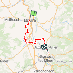
Trail Walking of 31 km to be discovered at Auvergne-Rhône-Alpes, Puy-de-Dôme, Issoire. This trail is proposed by tracegps.
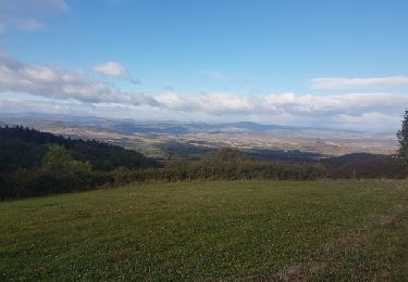
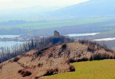
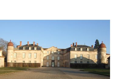
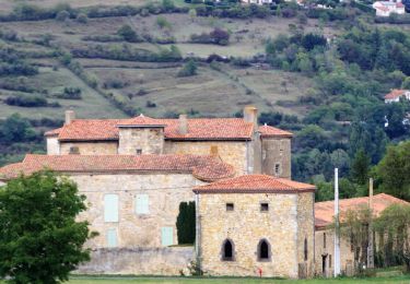
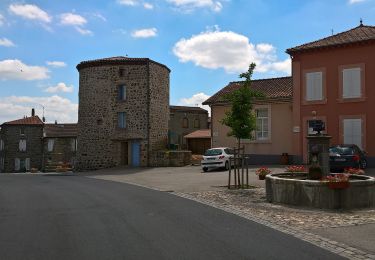
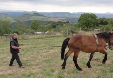
Etape 3 de la Via Arverna, chemin de Saint Jacques de Compostelle entre Clermont-Ferrand et Cahors. Cette étape permet de découvrir les paysages situés au bord des rivières de l’Allier et de la Couze. Alternances multiples entre prairies et sous-bois. Belles traversées et montées de quelques puys du Massif Central. Des champs avec papillons et fleurs vous accompagneront au cours de ce périple sans oublier le passage vers l’église clunisienne de Mailhat. Ensuite, redescente tranquille vers les bords de l’Allier, en direction du village de Jumeaux. Retrouvez l'étape n° 3 sur le site de la «Via Arverna - chemin Saint-Jacques-de-Compostelle» ainsi qu'ICI sur le site de la « Via Arverna ».
 - Photo 1")
 - Photo 2")
 - Photo 3")
 - Photo 4")
 - Photo 5")
 - Photo 6")
Motor
Walking
Walking
On foot
On foot
On foot
On foot
Motorbike
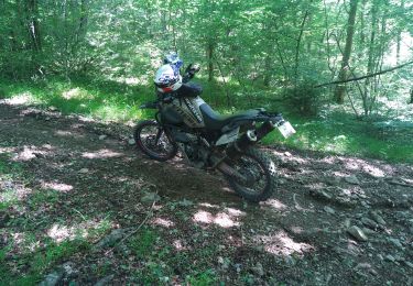
Moto cross