


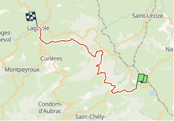

23 km | 30 km-effort


User


FREE GPS app for hiking
 SityTrail
IGN / Geographical institutes
SityTrail World
The world is yours!
Trail Walking of 22 km to be discovered at Occitania, Aveyron, Saint-Chély-d'Aubrac. This trail is proposed by tracegps.
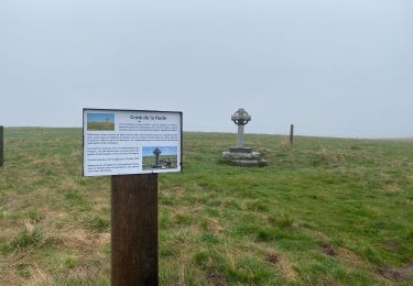
Départ du centre d'Aubrac. Longue montée à travers bois, voir au passage la grotte refuge des résistants de 1943-45, puis descente sur Laguiole.


Walking
Walking
Walking
Walking

On foot

Walking
Walking


sport

Walking