


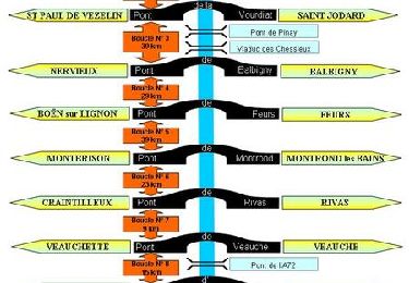
11.4 km | 15.2 km-effort

User


FREE GPS app for hiking
 SityTrail
IGN / Geographical institutes
SityTrail World
The world is yours!
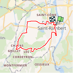
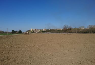
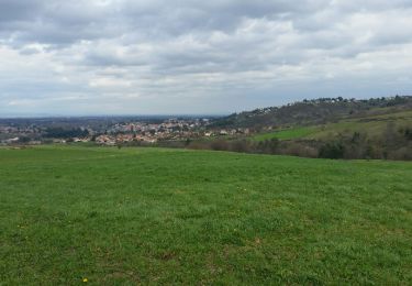
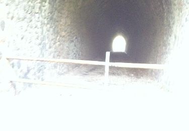
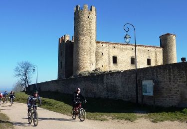
Trail Mountain bike of 14 km to be discovered at Auvergne-Rhône-Alpes, Loire, Saint-Just-Saint-Rambert. This trail is proposed by tracegps.
Parking et départ de la salle Embarcadère. Cette randonnée (VTT, marche et cyclotouriste) est organisée par le club "Cyclotouristes de Saint-Just-Saint-Rambert". Ce circuit est facile et roulant, c’est le parcours familial par excellence.
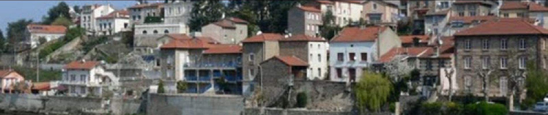
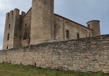
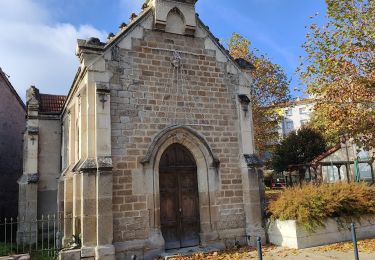
 - Saint-Just-Saint-Rambert - Photo 1")
 - Saint-Just-Saint-Rambert - Photo 2")
 - Saint-Just-Saint-Rambert - Photo 3")
 - Saint-Just-Saint-Rambert - Photo 4")
 - Saint-Just-Saint-Rambert - Photo 5")
 - Saint-Just-Saint-Rambert - Photo 6")
Walking
Walking

Mountain bike
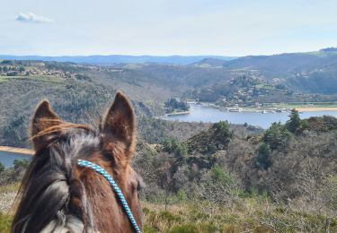
Horseback riding
Walking
Walking
Walking
Mountain bike
Mountain bike