


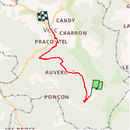

16 km | 31 km-effort

User


FREE GPS app for hiking
 SityTrail
IGN / Geographical institutes
SityTrail World
The world is yours!
Trail Walking of 8.1 km to be discovered at Auvergne-Rhône-Alpes, Drôme, Vesc. This trail is proposed by tracegps.
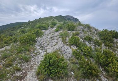
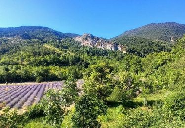
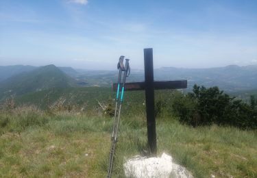
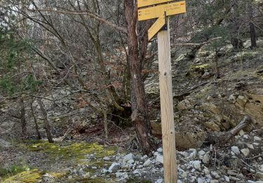
Sixième étape : vous grimpez les flans du Bec de Jus jusqu'à 1021m. Après avoir rejoins le col Gauthier (804m) et le col de la Montagne de Ruy (960m) on descend à Vesc (600m). Retrouvez le plan global du circuit sur le site de la Communauté de Communes du pays de Dieulefit.
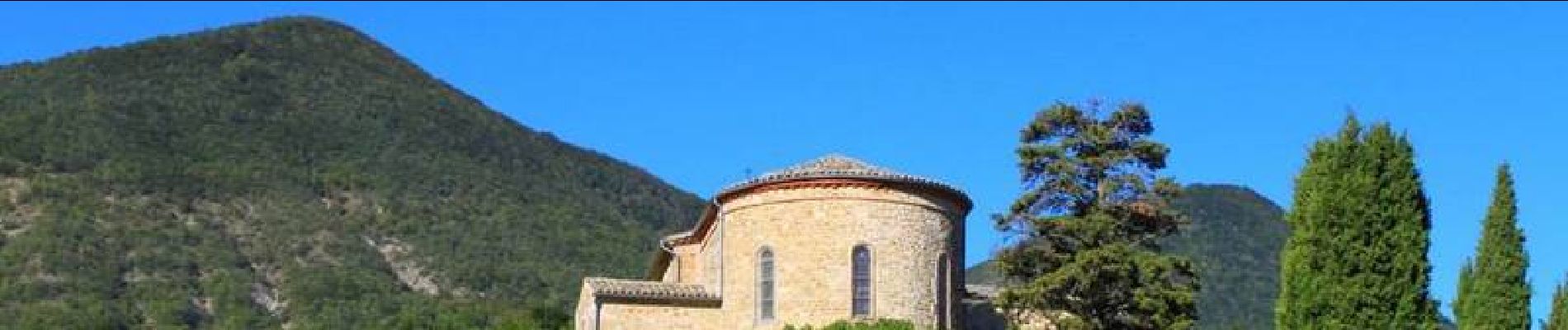
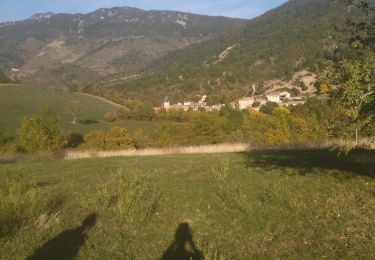
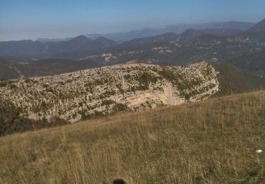
 à Vesc (Village) - Photo 1")
 à Vesc (Village) - Photo 2")
 à Vesc (Village) - Photo 3")
 à Vesc (Village) - Photo 4")
 à Vesc (Village) - Photo 5")
Walking
Walking
Walking
Walking


sport
Walking
Walking

Walking

Walking