


14.2 km | 19.8 km-effort

User


FREE GPS app for hiking
 SityTrail
IGN / Geographical institutes
SityTrail World
The world is yours!
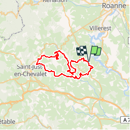
Trail Mountain bike of 49 km to be discovered at Auvergne-Rhône-Alpes, Loire, Bully. This trail is proposed by tracegps.
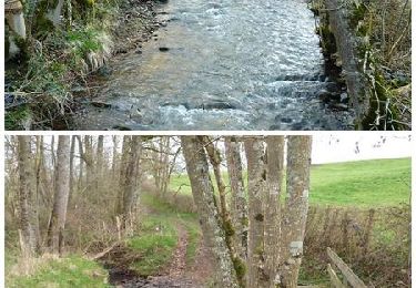
Départ du parking en contrebas de l’église de Bully. Circuit tracé par les membres du club cycliste «Le Guidon d’Or Costellois» (GOC 42). C’est une boucle exigeante réservée aux pratiquants réguliers de la discipline car elle comporte de bonnes ascensions par toujours roulantes qui demandent de l’endurance ainsi que de bonnes descentes pierreuses et ravinées qui exigent un minimum de technique! Après un départ par monts et par vaux, suivi d’une longue montée sur un chemin herbeux, l’on se retrouve assez vite au village de Crémeaux. Puis en passant par le circuit pédagogique « il était un chemin » (trace disponible sur ce site sous la référence n° 10113) et la croix des Seignolles, la montée continue jusqu’au hameau de La Mataude. Puis une succession de vallons vous fera finalement descendre dans la vallée de l’Isable où une très agréable portion roulante, avec la rivière en main courante, vous emmènera au « Moulin de la Roue » puis en empruntant une petite route très pentue, vous vous élèverez vers le village de Saint Polgues (reconnaissable à sa tour en pierres) puis vous roulerez sur une piste vallonnée pour atteindre La Croix du Lac. Après vous aurez le plaisir de faire une belle dégringolade vers la plaine de la Loire et découvrirez ses jolis points de vue sur les villages et vallonnements de part et d’autre des gorges de la Loire. Juste avant d’atteindre le hameau de Quincé vous aurez un beau coup d’œil sur le village de Saint-Jean-Saint-Maurice-sur-Loire (point de repère, sa tour en pierres) et au loin la ville de Roanne. Topoguide : Découverte en Vals d’Aix et d’Isable (12 circuits). Rando Guide de la Communauté de Commune de l’Ouest Roannais - CCOR (13 circuits)
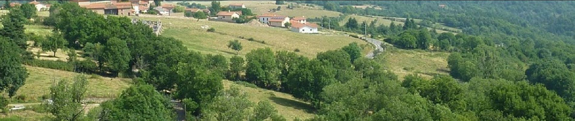
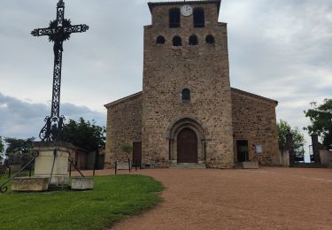
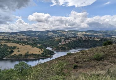
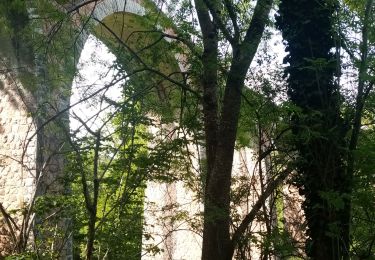
 - Photo 1")
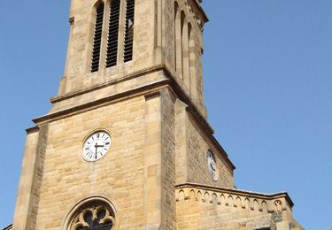
 - Photo 2")
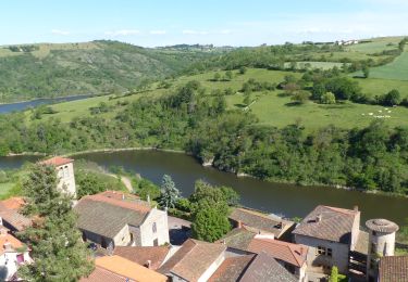
 - Photo 3")
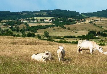
 - Photo 4")
 - Photo 5")
 - Photo 6")

Walking
Walking


sport
Walking
Walking
Walking
Walking
Mountain bike
Mountain bike