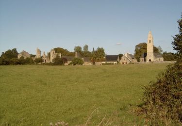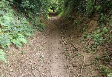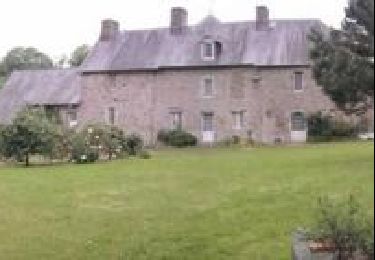

Rando VTT à Coutance 2012

tracegps
User

Length
68 km

Max alt
166 m

Uphill gradient
943 m

Km-Effort
80 km

Min alt
39 m

Downhill gradient
941 m
Boucle
Yes
Creation date :
2014-12-10 00:00:00.0
Updated on :
2014-12-10 00:00:00.0
5h00
Difficulty : Difficult

FREE GPS app for hiking
About
Trail Mountain bike of 68 km to be discovered at Normandy, Manche, Coutances. This trail is proposed by tracegps.
Description
Très bon circuit de 68km proposé par bekanabou. Le départ et l'arrivée se font du stade à Coutance. Grand parking pour se garer.
Positioning
Country:
France
Region :
Normandy
Department/Province :
Manche
Municipality :
Coutances
Location:
Unknown
Start:(Dec)
Start:(UTM)
612898 ; 5434186 (30U) N.
Comments
Trails nearby

Autour de Feugères en VTT


Mountain bike
Difficult
(1)
Monthuchon,
Normandy,
Manche,
France

62 km | 73 km-effort
4h 30min
Yes

Monchaton


Nordic walking
Easy
(1)
Orval-sur-Sienne,
Normandy,
Manche,
France

11.2 km | 12.6 km-effort
2h 18min
Yes

1 pas, 2 pas pour Anaïs - Coutances


Mountain bike
Difficult
Coutances,
Normandy,
Manche,
France

39 km | 47 km-effort
2h 45min
Yes


Pédestre - Les trois vallées


Walking
Medium
Nicorps,
Normandy,
Manche,
France

12.4 km | 15.3 km-effort
3h 30min
Yes

Rando des Petits Princes de Margot 2013 - Coutances


Mountain bike
Difficult
Coutances,
Normandy,
Manche,
France

42 km | 50 km-effort
2h 45min
Yes

Montchaton 25 juillet 2022


Walking
Medium
Bricqueville-la-Blouette,
Normandy,
Manche,
France

7.7 km | 9 km-effort
1h 40min
No

boucle Nicorps - Le Pont de la Roque


Electric bike
Medium
Nicorps,
Normandy,
Manche,
France

15.9 km | 18.2 km-effort
1h 32min
Yes

Basse Normandie - Ligne 417 - Coutances - Sottevast


Other activity
Very easy
Courcy,
Normandy,
Manche,
France

69 km | 75 km-effort
5min
No


 SityTrail


