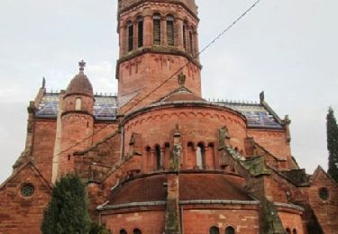
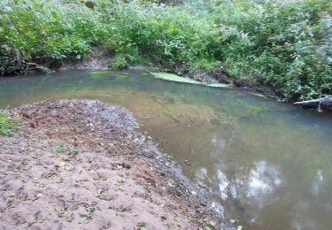
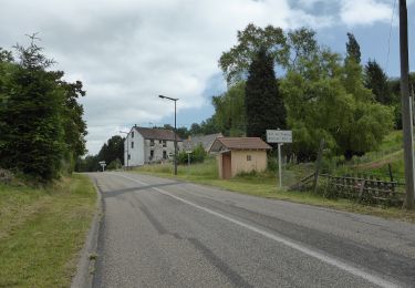
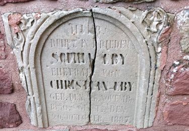
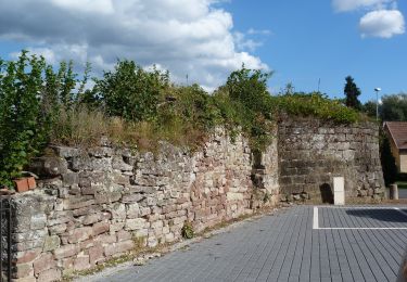
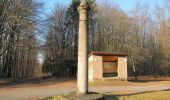
Trail Mountain bike Soucht - Circuit VTT au sud de Soucht - Photo

Circuit VTT au sud de Soucht

 tracegps
tracegps

User

© OpenStreetMap contributors
Length
Length
17.4 km
Max alt
Max alt
436 m
Uphill gradient
Uphill gradient
382 m
Km-Effort
Km-Effort  
22 km
Min alt
Min alt
269 m
Downhill gradient
Downhill gradient
381 m
Boucle
Boucle
Yes
Creation date :
2014-12-10 00:00:00.0
Updated on :
2014-12-10 00:00:00.0

(0 Reviews)

Mountain bike
Mountain bike
2h30
Difficulty : Medium

Scan this QR Code to open this trail in the SityTrail application

FREE GPS app for hiking

Logo SityTrail SityTrail

IGN / Geographical institutes

Download SityTrail from the App Store Download SityTrail from Google Play

Logo SityTrail SityTrail World

The world is yours!

Download SityTrail from the App Store Download SityTrail from Google Play Download SityTrail on Huawei AppGallery

About

Trail Mountain bike of 17.4 km to be discovered at Grand Est, Moselle, Soucht. This trail is proposed by tracegps.

Description

Départ à Soucht, place de la République (portique d'informations). Le circuit se déroule essentiellement sur les hauteurs au sud de Soucht. Point de vue vers le nord près de La Colonne. La descente sur l'ancienne voie ferrée est assez raide et demande de la dextérité. La randonnée peut également démarrer à la Pierre des Douze Apôtres ou à La Colonne (panneau d'informations à l'intérieur de l'abri). Les plaquettes portent le N° 4. Juste après La Colonne, le circuit rentre en forêt (ne pas descendre à Meisenthal par la route goudronnée!).

Elevation profile

Photos

Positioning

Country:
France
Region :
Grand Est
Department/Province :
Moselle
Municipality :
Soucht
Location:
Unknown
Start:(UTM)
378129 ; 5424219 (32U) N.

Trails nearby

Trail Walking Saint-Louis-lès-Bitche - Saint-Louis-Lès-Bitche et le pays du verre et du cristal - Photo
Walking
tracegps

Walking

Medium
(2)
Saint-Louis-lès-Bitche, Grand Est, Moselle, France
13.1 km | 17.5 km-effort
3h 19min
Yes
Trail Horseback riding Soucht - suuntoapp-HorsebackRiding-2024-11-10T08-15-44Z - Photo
Horseback riding
GUIDE
holtzv

Horseback riding

Very easy
Soucht, Grand Est, Moselle, France
26 km | 34 km-effort
4h 27min
Yes
Trail Horseback riding Soucht - suuntoapp-HorsebackRiding-2024-11-09T08-23-34Z - Photo
Horseback riding
GUIDE
holtzv

Horseback riding

Very easy
Soucht, Grand Est, Moselle, France
28 km | 37 km-effort
4h 53min
Yes
Trail On foot Montbronn - Wayside crosses tour No. 4 - Photo
On foot
GUIDE+

On foot

Easy
Montbronn, Grand Est, Moselle, France
4.9 km | 6.2 km-effort
1h 24min
No
Trail On foot Butten - Anneau bleu - Photo
On foot
GUIDE+

On foot

Easy
Butten, Grand Est, Bas-Rhin, France
5.8 km | 7.9 km-effort
1h 48min
Yes
Trail On foot Butten - Anneau rouge - Photo
On foot
GUIDE+

On foot

Easy
Butten, Grand Est, Bas-Rhin, France
6.2 km | 8 km-effort
1h 48min
Yes
Trail On foot Volksberg - Losange vert - Photo
On foot
GUIDE+

On foot

Easy
Volksberg, Grand Est, Bas-Rhin, France
9.1 km | 12.3 km-effort
2h 48min
Yes
Trail On foot Volksberg - Anneau vert - Photo
On foot
GUIDE+

On foot

Easy
Volksberg, Grand Est, Bas-Rhin, France
5.6 km | 7.6 km-effort
1h 43min
Yes
Trail On foot Puberg - Disque vert - Photo
On foot
GUIDE+

On foot

Medium
Puberg, Grand Est, Bas-Rhin, France
15.9 km | 20 km-effort
4h 39min
No


Close
My subscriptions