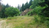

Le Lévézou - Notre Dame d'Aures

tracegps
User

Length
35 km

Max alt
847 m

Uphill gradient
843 m

Km-Effort
47 km

Min alt
587 m

Downhill gradient
844 m
Boucle
Yes
Creation date :
2014-12-10 00:00:00.0
Updated on :
2014-12-10 00:00:00.0
5h00
Difficulty : Very difficult

FREE GPS app for hiking
About
Trail Mountain bike of 35 km to be discovered at Occitania, Aveyron, Arvieu. This trail is proposed by tracegps.
Description
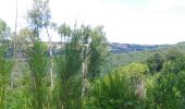
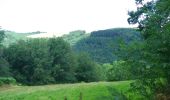
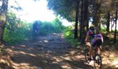
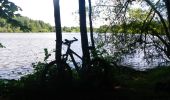
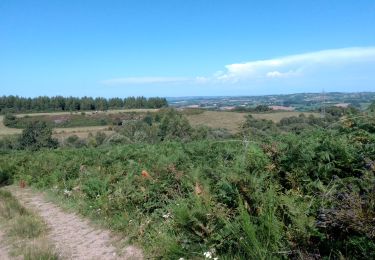
Voici une boucle de 35 Km avec de superbes paysages. Attention quelques descentes techniques avec des pièges. Circuit très physique peut de repos pour les jambes. Voici un LIEN si vous souhaitez voir plus de photos et quelques vidéos. Bonne balade à vous !
Positioning
Country:
France
Region :
Occitania
Department/Province :
Aveyron
Municipality :
Arvieu
Location:
Unknown
Start:(Dec)
Start:(UTM)
476805 ; 4894515 (31T) N.
Comments
Trails nearby

J6


Mountain bike
Medium
(1)
Canet-de-Salars,
Occitania,
Aveyron,
France

21 km | 25 km-effort
1h 25min
Yes
Tour du lac de la Gourde


Walking
Easy
Canet-de-Salars,
Occitania,
Aveyron,
France

4.4 km | 5.5 km-effort
1h 11min
Yes
Pareloup


Mountain bike
Easy
Canet-de-Salars,
Occitania,
Aveyron,
France

43 km | 54 km-effort
4h 33min
Yes
lac de pareloup cote ouest


Canoe - kayak
Medium
Canet-de-Salars,
Occitania,
Aveyron,
France

21 km | 21 km-effort
4h 19min
Yes
Lac de Pareloup côté est


Canoe - kayak
Medium
Canet-de-Salars,
Occitania,
Aveyron,
France

21 km | 22 km-effort
4h 0min
Yes
Arvieu Salmiech Villefranche de Panat


Walking
Very difficult
Arvieu,
Occitania,
Aveyron,
France

37 km | 49 km-effort
20h 18min
No
Saint Martin des Faux


Walking
Medium
(1)
Arvieu,
Occitania,
Aveyron,
France

21 km | 27 km-effort
6h 30min
Yes
lac de la gourde


Walking
Easy
Canet-de-Salars,
Occitania,
Aveyron,
France

4.6 km | 5.7 km-effort
1h 9min
Yes
arvieu est


Mountain bike
Easy
Arvieu,
Occitania,
Aveyron,
France

8.3 km | 11.3 km-effort
1h 34min
Yes


 SityTrail


