


22 km | 25 km-effort


User


FREE GPS app for hiking
 SityTrail
IGN / Geographical institutes
SityTrail World
The world is yours!
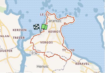
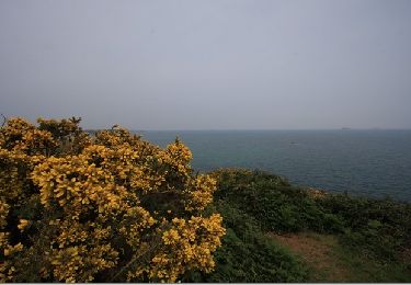
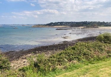
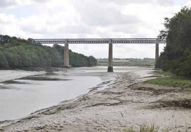
Trail Walking of 17.7 km to be discovered at Brittany, Finistère, Carantec. This trail is proposed by tracegps.
Une partie du circuit emprunte le GR34 le long de la côte et l'autre partie la campagne au milieu des champs de légumes. Topo Guide des Pays de Morlaix FFR.


Walking
Other activity
Walking
Walking
Walking
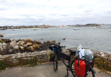
Bicycle tourism
Walking
On foot