


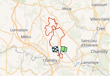

12.9 km | 16.4 km-effort


User


FREE GPS app for hiking
 SityTrail
IGN / Geographical institutes
SityTrail World
The world is yours!
Trail Mountain bike of 53 km to be discovered at Hauts-de-France, Oise, Le Mesnil-en-Thelle. This trail is proposed by tracegps.
Superbe rando vtt départ du Mesnil en Thelle


Walking
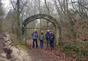
Walking
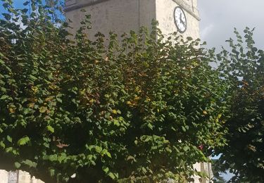
Walking
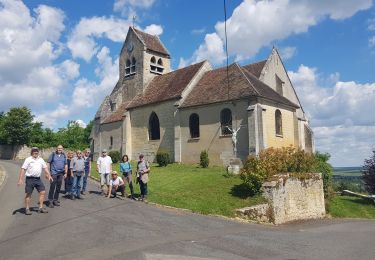
Walking

Walking

Walking
Walking
Walking