


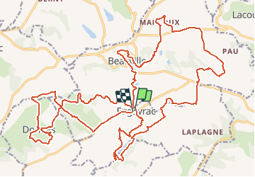

16.3 km | 24 km-effort


User


FREE GPS app for hiking
 SityTrail
IGN / Geographical institutes
SityTrail World
The world is yours!
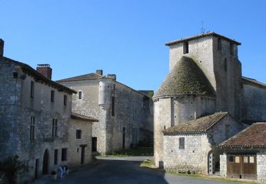
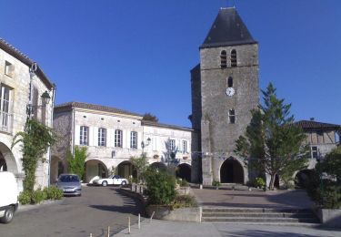
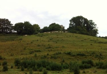
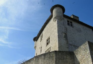
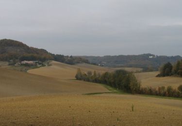
Trail Mountain bike of 38 km to be discovered at New Aquitaine, Lot-et-Garonne, Engayrac. This trail is proposed by tracegps.
Circuit de la randonnée "La Déjantée" 2012. 38km

Equestrian

Mountain bike
Walking

Mountain bike
Walking
Equestrian
Mountain bike

Walking
Equestrian