![](/images/other/stat-length.png)
![Trail Mountain bike Lacroix-Saint-Ouen - Au bois de Marie Louise Nord - Lacroix Saint Ouen - Photo](https://media.geolcdn.com/t/1900/400/ext.pjpeg?maxdim=2&url=https%3A%2F%2Fservices.sitytrail.com%2FGeolivesWS%2FDownloadMedia.ashx%3FTrailID%3D172297%26Media%3D13619_6.jpg)
Au bois de Marie Louise Nord - Lacroix Saint Ouen
tracegps
User
![Length](/images/other/stat-length.png)
![Max alt](https://static1.geolcdn.com/siteimages/upload/files/1508320355ic_sort_altitude_max_24dp.png)
![Uphill gradient](https://static1.geolcdn.com/siteimages/upload/files/1508320355ic_sort_den_pos_24dp.png)
![Km-Effort](/images/other/stat-length.png)
![Min alt](https://static1.geolcdn.com/siteimages/upload/files/1508320355ic_sort_altitude_min_24dp.png)
![Downhill gradient](https://static1.geolcdn.com/siteimages/upload/files/1508320355ic_sort_den_neg_24dp.png)
![Boucle](https://static1.geolcdn.com/siteimages/upload/files/16400158638029165_repeat_loop_refresh_sync_direction_icon.png)
![Mountain bike](https://static1.geolcdn.com/sitytour/trail-icons/202.png)
2h00
Difficulty : Medium
![Scan this QR Code to open this trail in the SityTrail application](https://capi.geolives.com/qq0zvz2zws4bq2lad0pu/sitytour/trails/172297/qr.png?size=200)
FREE GPS app for hiking
About
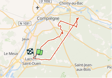
Trail Mountain bike of 26 km to be discovered at Hauts-de-France, Oise, Lacroix-Saint-Ouen. This trail is proposed by tracegps.
Description
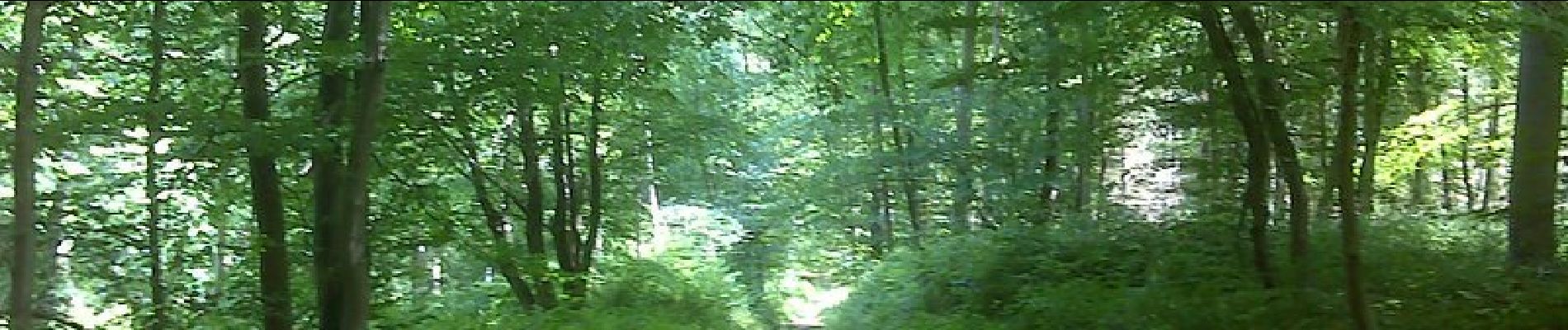
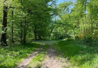
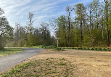
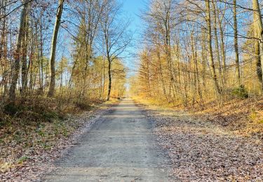
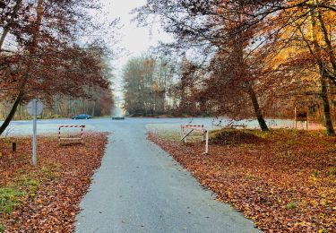
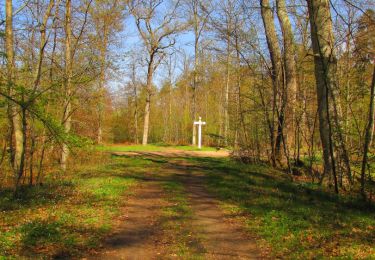
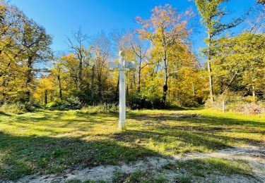
Promenade dans la forêt de Compiègne sur les traces de l'archiduchesse Marie Louise. Circuit plat et sablonneux mais ascension du "col" des Beaux Monts et du Mont du tremble à 125 m d'altitude ! Vue exceptionnelle sur le château à l'arrière plan. La forêt offre un parcours aisé sur des allées rectilignes tracées au cordeau et agrémentées aux intersections de poteaux signalant toujours la direction du château : point rouge. La promenade peut s'effectuer à pied mais gare aux longueurs ! On peut poursuivre la balade avec le parcours "Sud".
Positioning
Comments
Trails nearby
![Trail Walking Jonquières - 053B JONQUIERES De Jaux au Boucquy - Photo](https://media.geolcdn.com/t/375/260/fa9266fa-eefd-448f-bdf1-52b2f2d232ca.jpg&format=jpg&maxdim=2)
![Walking Walking](https://static1.geolcdn.com/sitytour/trail-icons/101.png)
Walking
![](/images/other/stat-length.png)
![](https://static1.geolcdn.com/siteimages/upload/files/16400158638029165_repeat_loop_refresh_sync_direction_icon.png)
![Trail Walking Jaux - JAUX, Oise - Photo](https://media.geolcdn.com/t/375/260/7b72caa1-819f-49b8-875f-306cfe342c6a.jpg&format=jpg&maxdim=2)
![Walking Walking](https://static1.geolcdn.com/sitytour/trail-icons/101.png)
![Trail Walking Compiègne - en Forêt de Compiègne_50_les Routes des Beaux Monts, de Morpigny et des Nymphes - Photo](https://media.geolcdn.com/t/375/260/9c55d9c0-6825-4d4d-9591-f5323b93b433.jpg&format=jpg&maxdim=2)
![Walking Walking](https://static1.geolcdn.com/sitytour/trail-icons/101.png)
Walking
![](/images/other/stat-length.png)
![](https://static1.geolcdn.com/siteimages/upload/files/16400158638029165_repeat_loop_refresh_sync_direction_icon.png)
![Trail Walking Lacroix-Saint-Ouen - en Forêt de Compiègne_49_les Molineaux_le Chemin et la Route de Béthisy - Photo](https://media.geolcdn.com/t/375/260/41fd6252-f1e1-4d1a-a28e-78183312295b.jpg&format=jpg&maxdim=2)
![Walking Walking](https://static1.geolcdn.com/sitytour/trail-icons/101.png)
Walking
![](/images/other/stat-length.png)
![](https://static1.geolcdn.com/siteimages/upload/files/16400158638029165_repeat_loop_refresh_sync_direction_icon.png)
![Walking Walking](https://static1.geolcdn.com/sitytour/trail-icons/101.png)
Walking
![](/images/other/stat-length.png)
![](https://static1.geolcdn.com/siteimages/upload/files/16400158638029165_repeat_loop_refresh_sync_direction_icon.png)
![Walking Walking](https://static1.geolcdn.com/sitytour/trail-icons/101.png)
Walking
![](/images/other/stat-length.png)
![](https://static1.geolcdn.com/siteimages/upload/files/16400158638029165_repeat_loop_refresh_sync_direction_icon.png)
![Trail Walking Compiègne - en forêt de Compiègne_43_le Petit Octogone et vers la Faisanderie - Photo](https://media.geolcdn.com/t/375/260/ext.jpg?maxdim=2&url=https%3A%2F%2Fservices.sitytrail.com%2FGeolivesWS%2FDownloadMedia.ashx%3FTrailID%3D945309%26Media%3D61959efe-9c26-48c8-8509-5376406dc1f6.JPG)
![Walking Walking](https://static1.geolcdn.com/sitytour/trail-icons/101.png)
Walking
![](/images/other/stat-length.png)
![](https://static1.geolcdn.com/siteimages/upload/files/16400158638029165_repeat_loop_refresh_sync_direction_icon.png)
![Walking Walking](https://static1.geolcdn.com/sitytour/trail-icons/101.png)
Walking
![](/images/other/stat-length.png)
![](https://static1.geolcdn.com/siteimages/upload/files/16400158638029165_repeat_loop_refresh_sync_direction_icon.png)
![Trail Walking Saint-Jean-aux-Bois - en forêt de Compiègne_36_Tournantes sur les Grands Monts et les Grueries - Photo](https://media.geolcdn.com/t/375/260/ext.jpg?maxdim=2&url=https%3A%2F%2Fservices.sitytrail.com%2FGeolivesWS%2FDownloadMedia.ashx%3FTrailID%3D590179%26Media%3Dcdb783f6-c879-4797-9a86-1ea26bf633f9.JPG)
![Walking Walking](https://static1.geolcdn.com/sitytour/trail-icons/101.png)
Walking
![](/images/other/stat-length.png)
![](https://static1.geolcdn.com/siteimages/upload/files/16400158638029165_repeat_loop_refresh_sync_direction_icon.png)