


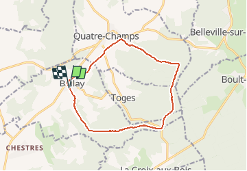

16.1 km | 19.7 km-effort

User


FREE GPS app for hiking
 SityTrail
IGN / Geographical institutes
SityTrail World
The world is yours!
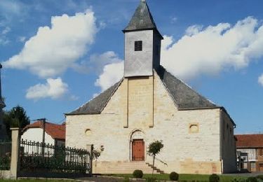
Trail Walking of 12.5 km to be discovered at Grand Est, Ardennes, Ballay. This trail is proposed by tracegps.
Départ place de Ballay, prendre la route forestière, passer au-dessus de Toges, redescendre jusqu'aux portes de Quatre Champs et revenir par la prairie.

Walking
Walking
Walking
Walking

Walking

Nordic walking