


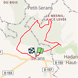

10.2 km | 12.2 km-effort


User


FREE GPS app for hiking
 SityTrail
IGN / Geographical institutes
SityTrail World
The world is yours!
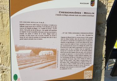
Trail Walking of 6.5 km to be discovered at Hauts-de-France, Oise, Serans. This trail is proposed by marcel.F.
Boucle départ rue de la Mairie à Serans via Lèvemont et Le Mesnil Lance Levée

Walking

Equestrian

Walking
Walking

Walking

Walking
On foot
On foot
Walking