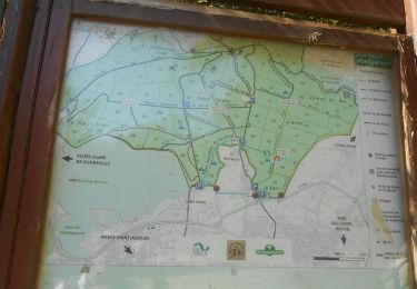
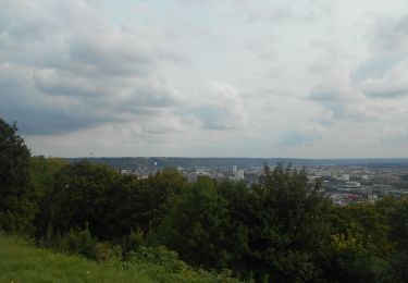
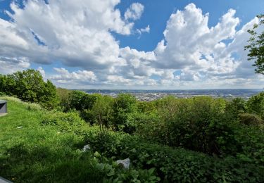
11.7 km | 15.2 km-effort
houppeville
nathycandy
User
Length
12.1 km
Max alt
179 m
Uphill gradient
286 m
Km-Effort
15.9 km
Min alt
33 m
Downhill gradient
286 m
Boucle
Yes
Creation date :
2014-12-10 00:00:00.0
Updated on :
2014-12-10 00:00:00.0
3h30
Difficulty : Difficult
FREE GPS app for hiking
About
Trail Walking of 12.1 km to be discovered at Normandy, Seine-Maritime, Houppeville. This trail is proposed by nathycandy.
Positioning
Country:
France
Region :
Normandy
Department/Province :
Seine-Maritime
Municipality :
Houppeville
Location:
Unknown
Start:(Dec)
Start:(UTM)
360928 ; 5485748 (31U) N.
Comments
Trails nearby
Mont-saint-aignan - Chasse-Marée -
Walking
Difficult
(1)
Mont-Saint-Aignan,
Normandy,
Seine-Maritime,
France
3h 27min
Yes
076-40-Montville par Mont Cauvaire 13km-801-928-
Walking
Medium
(1)
Montville,
Normandy,
Seine-Maritime,
France
12.7 km | 16.1 km-effort
3h 27min
Yes
076-65-le Houlme Malaunay Canicule 9km
Walking
Medium
(1)
Le Houlme,
Normandy,
Seine-Maritime,
France
10 km | 13.7 km-effort
2h 56min
Yes
20231026-Le Houlme
Walking
Medium
Le Houlme,
Normandy,
Seine-Maritime,
France
12 km | 15.7 km-effort
3h 29min
Yes
MN - Bois-Guillaume - Bretèque
Nordic walking
Very easy
(1)
Bois-Guillaume,
Normandy,
Seine-Maritime,
France
6.9 km | 7.9 km-effort
1h 15min
Yes
2023-09-09_18h54m19_activity_la_breteque_2VAUbDmYip1bXIXdp2Rh75Nga7h
Walking
Difficult
Houppeville,
Normandy,
Seine-Maritime,
France
11.3 km | 14.4 km-effort
3h 16min
Yes
20230829-Déville les Rouen
Walking
Medium
Déville-lès-Rouen,
Normandy,
Seine-Maritime,
France
11.9 km | 16.3 km-effort
3h 38min
Yes
20230504-Déville les Rouen
Walking
Medium
Déville-lès-Rouen,
Normandy,
Seine-Maritime,
France
10.9 km | 15.2 km-effort
3h 31min
Yes
Bosc Guerard
Walking
(1)
Bosc-Guérard-Saint-Adrien,
Normandy,
Seine-Maritime,
France
9.4 km | 11.5 km-effort
Unknown
Yes