


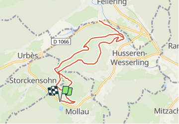

11.9 km | 20 km-effort


User


FREE GPS app for hiking
 SityTrail
IGN / Geographical institutes
SityTrail World
The world is yours!
Trail Walking of 9.9 km to be discovered at Grand Est, Haut-Rhin, Mollau. This trail is proposed by patrickbeyrath.
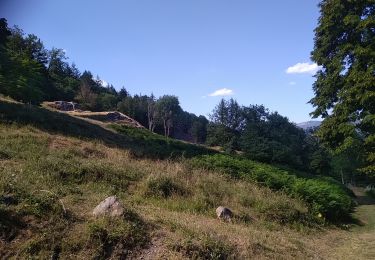
Très belle marche avec un départ à MOLLAU à hauteur du Ertenweiher, prendre Rond Rouge, direction Seewaldkopf,Huselberg, Pont Rouge et retour, rond rouge par le Chauvelin

Walking

Walking

Walking

Walking


Walking

Walking
Walking

Walking