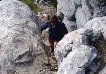
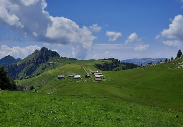
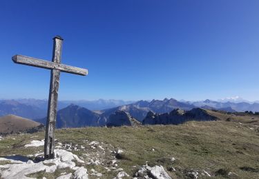
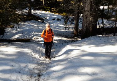
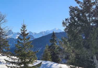
12.6 km | 21 km-effort
full moon
olivecoco
User
Length
10.8 km
Max alt
1797 m
Uphill gradient
490 m
Km-Effort
17.3 km
Min alt
1377 m
Downhill gradient
490 m
Boucle
Yes
Creation date :
2014-12-10 00:00:00.0
Updated on :
2014-12-10 00:00:00.0
2h49
Difficulty : Unknown
FREE GPS app for hiking
About
Trail Other activity of 10.8 km to be discovered at Auvergne-Rhône-Alpes, Upper Savoy, Fillière. This trail is proposed by olivecoco.
Description
raquette
Positioning
Country:
France
Region :
Auvergne-Rhône-Alpes
Department/Province :
Upper Savoy
Municipality :
Fillière
Location:
Thorens-Glières
Start:(Dec)
Start:(UTM)
292828 ; 5093429 (32T) N.
Comments
Trails nearby
tête de l'Apertaz, tête ronde et tête noire
Walking
Medium
Fillière,
Auvergne-Rhône-Alpes,
Upper Savoy,
France
5h 55min
Yes
GLIERES: MONUMENT - CHALETS DES AUGES - GAUTARD
Walking
Easy
(1)
Fillière,
Auvergne-Rhône-Alpes,
Upper Savoy,
France
8.8 km | 14.5 km-effort
3h 0min
No
Les Molliets-Pertuis-Ablon 10 Mai 2018
Walking
Difficult
Fillière,
Auvergne-Rhône-Alpes,
Upper Savoy,
France
18.2 km | 32 km-effort
7h 6min
Yes
20170806115426 90167 data
Walking
Easy
(1)
Fillière,
Auvergne-Rhône-Alpes,
Upper Savoy,
France
3.2 km | 8.6 km-effort
1h 53min
No
Refuge de Spé
Walking
Very easy
(1)
Glières-Val-de-Borne,
Auvergne-Rhône-Alpes,
Upper Savoy,
France
3.7 km | 5 km-effort
Unknown
No
Chalets des Auges
Walking
Very difficult
Fillière,
Auvergne-Rhône-Alpes,
Upper Savoy,
France
12.2 km | 19.2 km-effort
4h 21min
Yes
SOUS DINE PAR LE PAS DU ROC
Walking
Difficult
Fillière,
Auvergne-Rhône-Alpes,
Upper Savoy,
France
18.2 km | 34 km-effort
7h 44min
Yes
GLIERES: TOUR DE LA MONTAGNE DES FRETES mai 2023
Walking
Difficult
Glières-Val-de-Borne,
Auvergne-Rhône-Alpes,
Upper Savoy,
France
16.6 km | 26 km-effort
6h 30min
Yes
CREPON DE MONTOULIVERT
Snowshoes
Difficult
Fillière,
Auvergne-Rhône-Alpes,
Upper Savoy,
France
12.1 km | 19.4 km-effort
4h 25min
Yes