


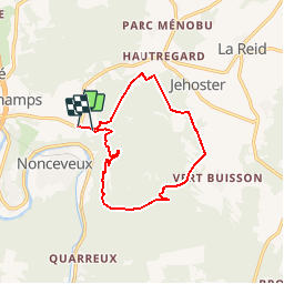

15.9 km | 21 km-effort


User


FREE GPS app for hiking
 SityTrail
IGN / Geographical institutes
SityTrail World
The world is yours!
Trail Walking of 11 km to be discovered at Wallonia, Liège, Aywaille. This trail is proposed by treb.
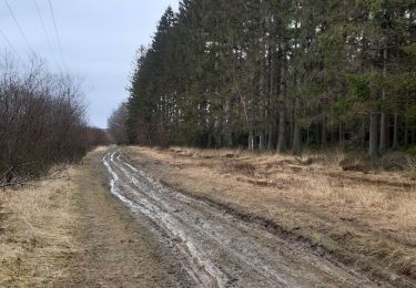
Je suis liégeois et cela fait longtemps que je peaufine cette ballade proche de Liège uniquement dans les bois et qui évite routes et maisons. Quelques passages pentus et des passages de gués (ou de force s'il a beaucoup plu !).

Walking


Walking

Walking

Walking

Walking

Walking

Walking
Walking
très chouette
J ai passe du bon temps superbe promenade
Par beau temps et chaleur , fraîcheur assurée et lumière superbe Attention,au point de vue, prendre directement le sentier qui descend à droite et non la piste forestière