


17.5 km | 21 km-effort


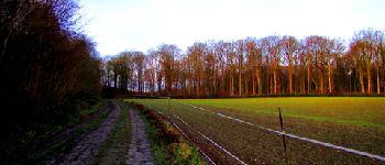
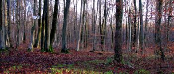
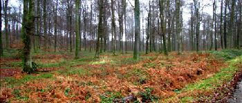
forêts de France


FREE GPS app for hiking
 SityTrail
IGN / Geographical institutes
SityTrail World
The world is yours!
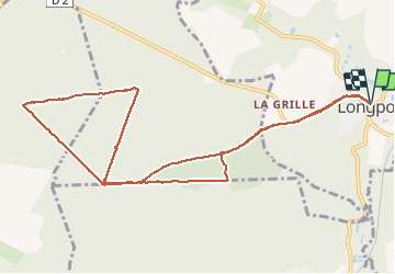
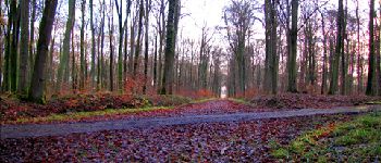
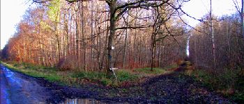
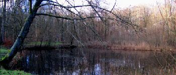
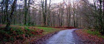
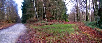
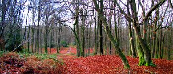
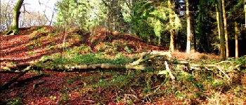
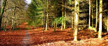
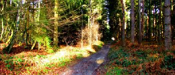
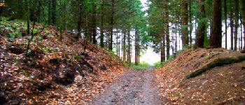
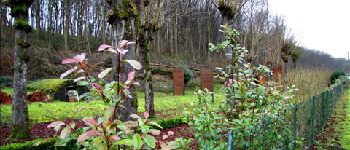
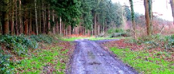
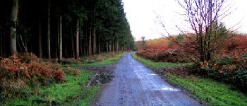
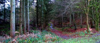
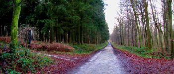
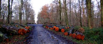
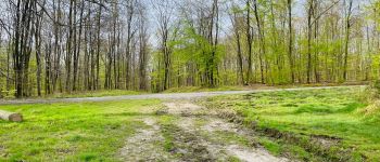
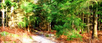
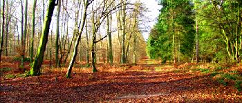
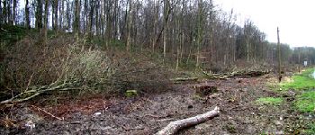
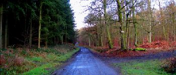
Trail Walking of 11.2 km to be discovered at Hauts-de-France, Aisne, Longpont. This trail is proposed by en forêt de Retz.
voir aussi:
http://foret-de-retz.over-blog.com/
12/2012
A partir des tourelles de Longpont, prendre la D2 et rentrer dans le vieux chemin de Longpont. Continuer jusqu''à la croix Bacquet, prendre la route du faîte jusqu''au carrefour des Princesses. Prendre la route de Chavigny jusqu''au carrefour de Chavigny. Prendre la route des Chamarts jusqu''à la croix Bacquet et revenir dans le vieux chemin de Longpont. Prendre la route du Pendu jusqu''au carrefour de la Tartarine. Prendre la laie des grands Charmes jusqu''au carrefour Bosc. Suivre le vieux chemin de Longpont pour récupérer la D2 et rentrer à Longpont.


74 photos in total. Please click on a photo to see them all in the gallery.

Walking

Walking

Walking

On foot

On foot

Walking

Walking

Walking

Walking