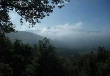
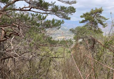
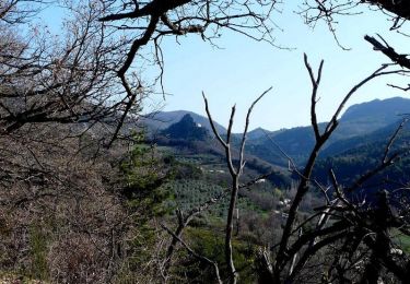
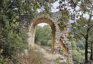
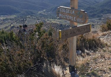
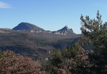
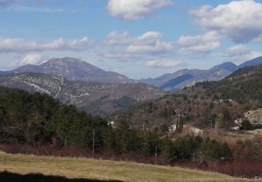
Trail Mountain bike Bénivay-Ollon - benivay sur ollon - Photo
 DCSDCS
DCSDCS

User

© OpenStreetMap contributors
Length
Length
33 km
Max alt
Max alt
861 m
Uphill gradient
Uphill gradient
1109 m
Km-Effort
Km-Effort  
47 km
Min alt
Min alt
357 m
Downhill gradient
Downhill gradient
1109 m
Boucle
Boucle
Yes
Creation date :
2014-12-10 00:00:00.0
Updated on :
2014-12-10 00:00:00.0

(0 Reviews)

Mountain bike
Mountain bike
3h06
Difficulty : Unknown

Scan this QR Code to open this trail in the SityTrail application

FREE GPS app for hiking

Logo SityTrail SityTrail

IGN / Geographical institutes

Download SityTrail from the App Store Download SityTrail from Google Play

Logo SityTrail SityTrail World

The world is yours!

Download SityTrail from the App Store Download SityTrail from Google Play Download SityTrail on Huawei AppGallery

About

Trail Mountain bike of 33 km to be discovered at Auvergne-Rhône-Alpes, Drôme, Bénivay-Ollon. This trail is proposed by DCSDCS.

Elevation profile

Positioning

Country:
France
Region :
Auvergne-Rhône-Alpes
Department/Province :
Drôme
Municipality :
Bénivay-Ollon
Location:
Unknown
Start:(UTM)
674455 ; 4907503 (31T) N.

Trails nearby

Trail Walking Bénivay-Ollon - Balade en Baronnies - Propiac - Photo
Walking
tracegps

Walking

Medium
(2)
Bénivay-Ollon, Auvergne-Rhône-Alpes, Drôme, France
9.8 km | 15.4 km-effort
3h 0min
Yes
Trail Walking Propiac - Propiac(26) - Photo
Walking
jldeval

Walking

Medium
(1)
Propiac, Auvergne-Rhône-Alpes, Drôme, France
14.9 km | 22 km-effort
4h 48min
Yes
Trail Walking Piégon - Piegon les géants moins dur - Photo
Walking
aitkhedache

Walking

Easy
Piégon, Auvergne-Rhône-Alpes, Drôme, France
12.1 km | 18.5 km-effort
6h 6min
Yes
Trail Walking Châteauneuf-de-Bordette - Chateauneuf de Bordette - Montagne de Petitjeux - Photo
Walking
frizou83

Walking

Medium
(1)
Châteauneuf-de-Bordette, Auvergne-Rhône-Alpes, Drôme, France
7.8 km | 13 km-effort
2h 46min
Yes
Trail Walking Beauvoisin - Le Gros Moure par Bénivay Ollon  - Photo
Walking
tracegps

Walking

Medium
Beauvoisin, Auvergne-Rhône-Alpes, Drôme, France
16 km | 26 km-effort
4h 0min
Yes
Trail Walking Mérindol-les-Oliviers - Merindole pour essai - Photo
Walking
Jean-Marc Gally

Walking

Easy
Mérindol-les-Oliviers, Auvergne-Rhône-Alpes, Drôme, France
4.1 km | 5.9 km-effort
1h 21min
Yes
Trail Walking Bénivay-Ollon - Benyvai olon - Photo
Walking
losjo

Walking

Medium
Bénivay-Ollon, Auvergne-Rhône-Alpes, Drôme, France
18.4 km | 28 km-effort
7h 1min
Yes
Trail Walking Piégon - piégon par les cretes - Photo
Walking
Vero7684

Walking

Difficult
Piégon, Auvergne-Rhône-Alpes, Drôme, France
11.9 km | 21 km-effort
5h 5min
Yes
Trail Walking Châteauneuf-de-Bordette - les crêtes de l essayon - Photo
Walking
Vero7684

Walking

Difficult
Châteauneuf-de-Bordette, Auvergne-Rhône-Alpes, Drôme, France
13.6 km | 24 km-effort
4h 55min
Yes


Close
My subscriptions